Streetscape of Sarah Street, with typical South Side rowhouses, a small synagogue, and the South Side Presbyterian Church at the end of the block.
Streetscape of Sarah Street, with typical South Side rowhouses, a small synagogue, and the South Side Presbyterian Church at the end of the block.

Looking east from 22nd Street.
It is a peculiarity of Pittsburgh that the city has no alleys. Of course this is not true in any meaningful sense, except one: that no alley is officially called an alley on planning maps. They are usually called “Way,” or sometimes “Street,” and one or two are probably “Avenues.”
However, there was a time when Pittsburgh dared to call an alley an alley, as we can see from the old Larkins Alley sign on the back of St. Casimir’s Church.


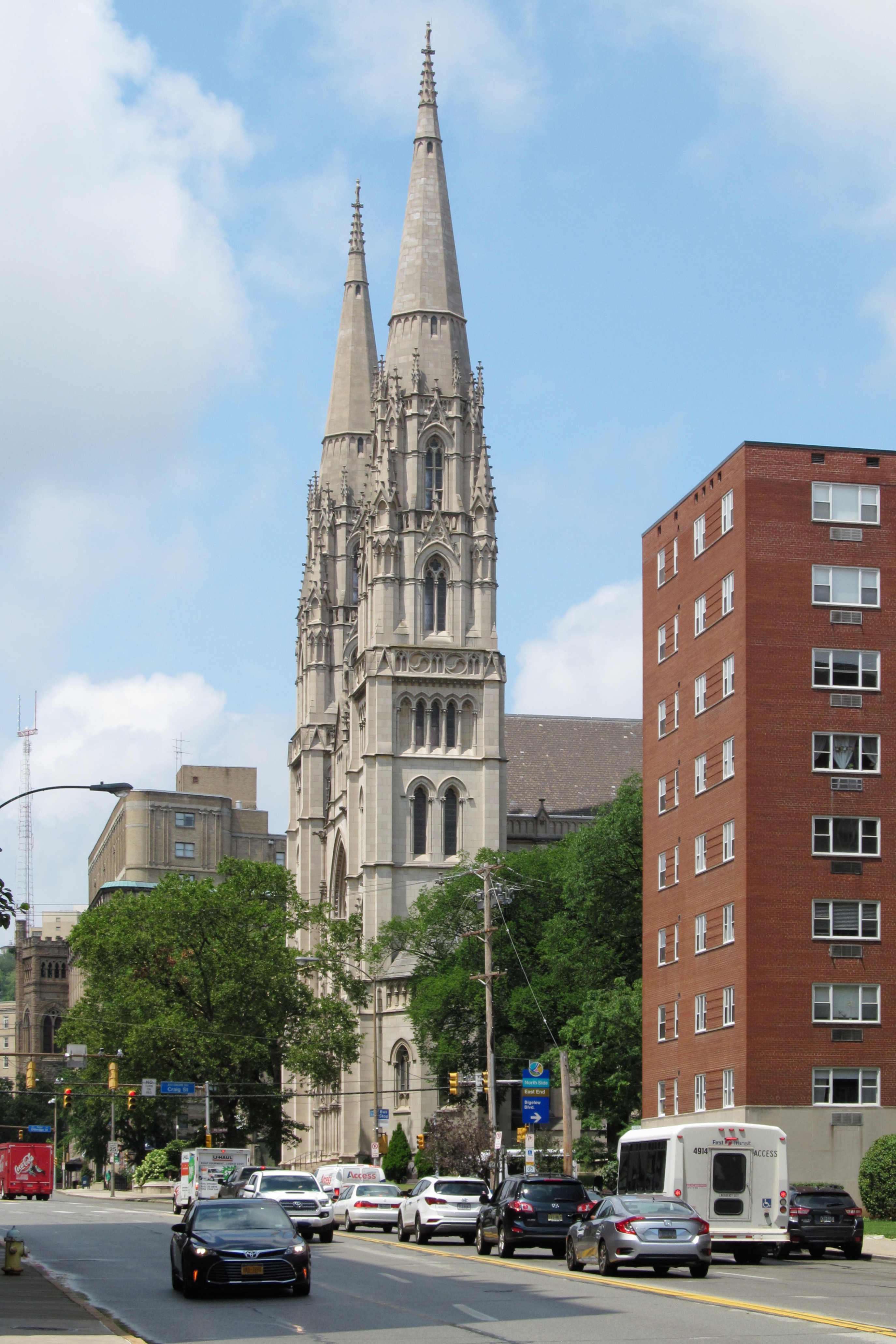
Decades from now, some curious soul exploring the back corners of archived Internet content will come across this picture and spin an elaborate theory of exactly what it was we were going to get through together. Possibly Fifth Avenue traffic, which is unusually moderate in this picture, but minutes later was brought to a standstill by a truck that decided to stop diagonally across the entire boulevard and unload its cargo.

Looking up Walbridge Street from Main Street in the West End.
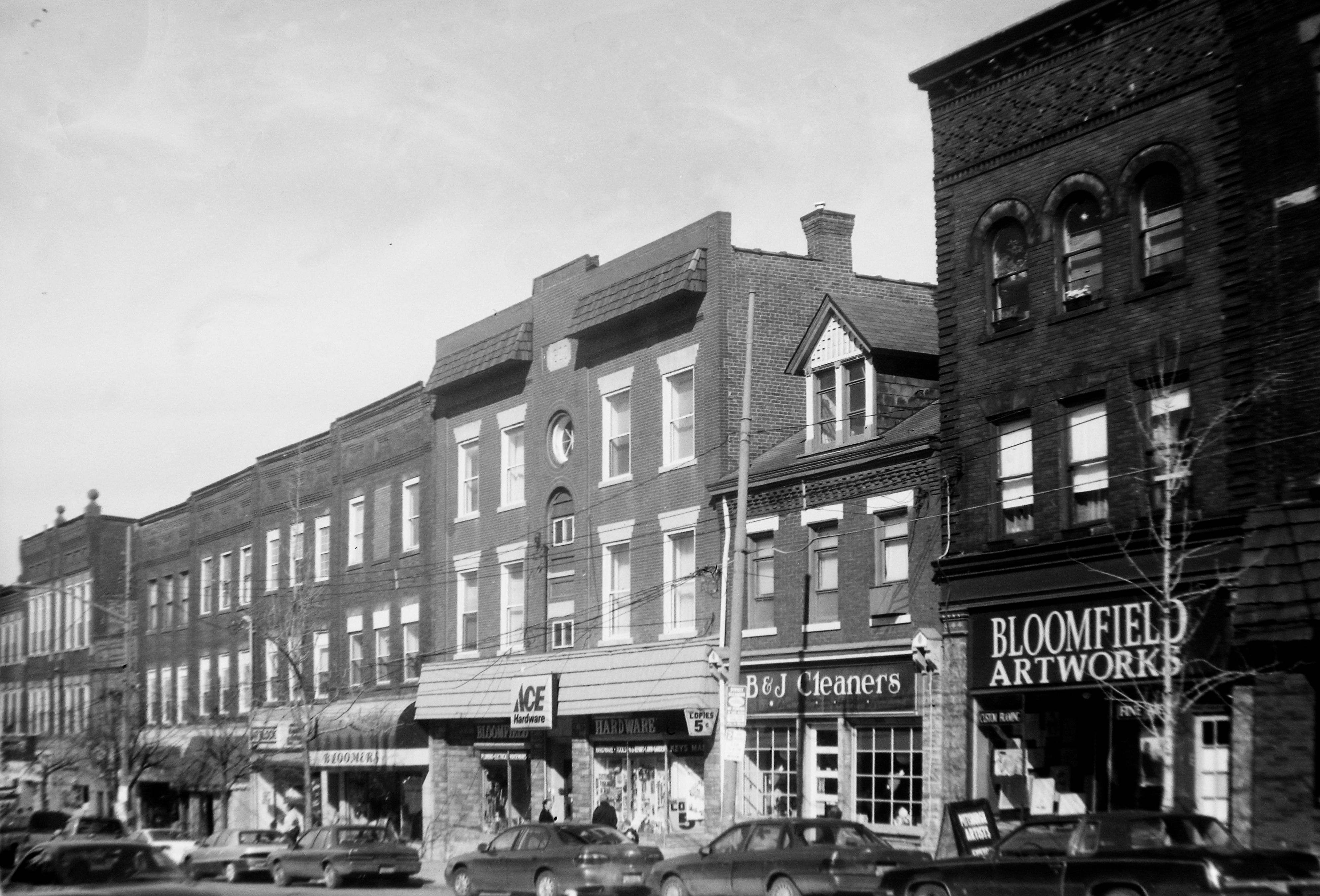
Liberty Avenue, Bloomfield, as it appeared in 1999. The picture was taken with an old folding Kodak Tourist camera.

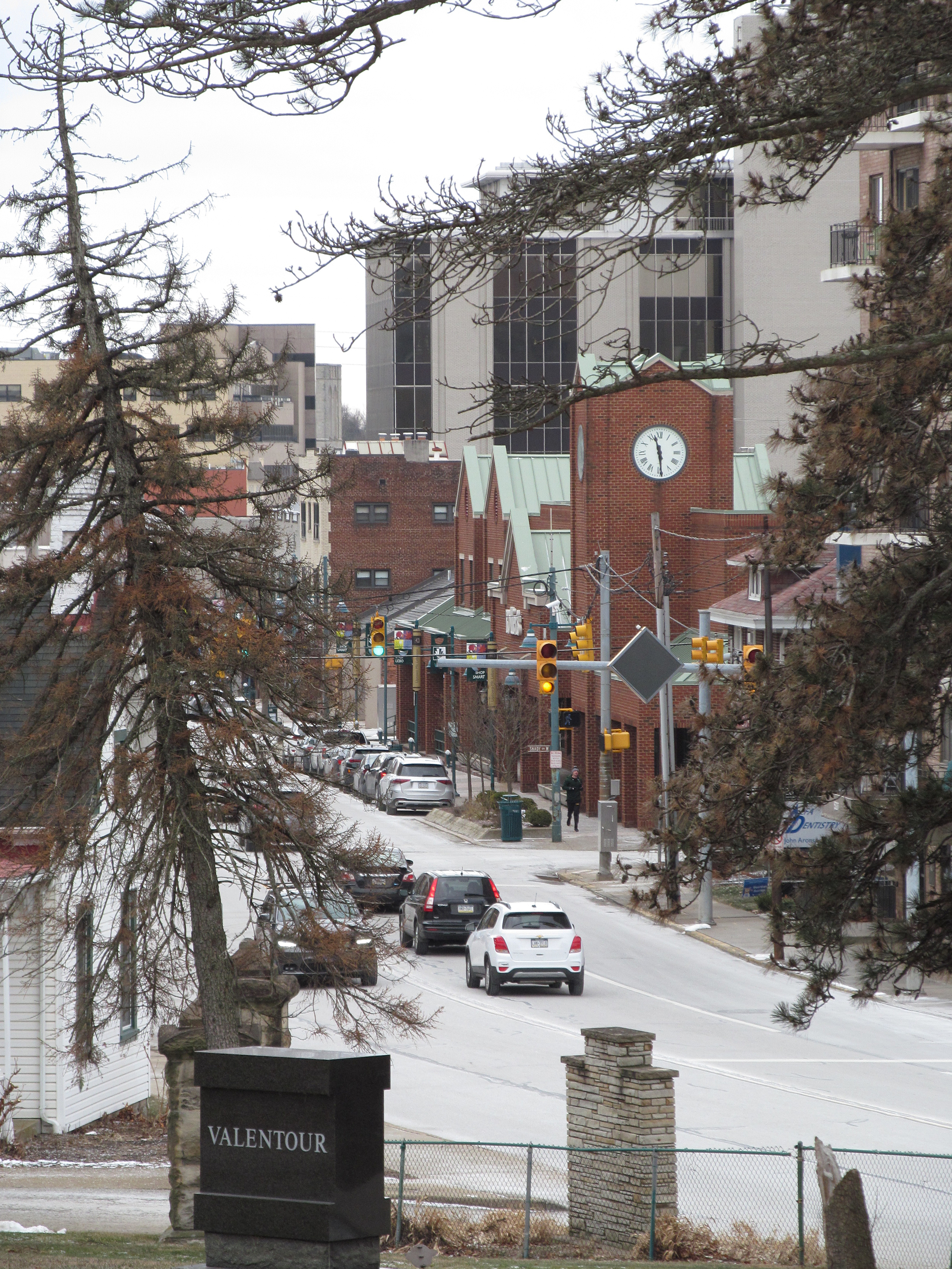
Looking north from Alfred Street on Washington Road, Uptown Mount Lebanon, toward the tower of St. Bernard’s.

East Liberty was down on its luck at the end of the twentieth century, but this row was still filled. The buildings have not changed much since then, fortunately, since this is one of the better Art Deco streetscapes in Pittsburgh, which never really embraced Art Deco as much as many other cities did. Surprisingly enough, Sam’s (no longer Bostonian) Shoes is still here; the terra-cotta tiles have disappeared from the front of that building. Its neighbor Anthon’s is also still in business. Most of the rest of the businesses in the row have changed, but the buildings are still there, and since East Liberty is a trendy neighborhood now, they have a good chance of preservation.

Brookline Boulevard, known simply as “the Boulevard” in the neighborhood, is the broadest commercial street in Pittsburgh—which surprises visitors from flat cities, where it would be at best a middling business street. It’s a curiously one-sided business strip: almost all the businesses are on the southwest side, the northeast side being primarily residential.
That may be because, for much of the neighborhood’s life, it was effectively two streets. When trolleys ran in Brookline, Brookline Boulevard was two narrow strips for cars, with trolleys in a separate median in the middle—much like Broadway in Dormont along the current Red Line. Removing the trolleys and paving the median created the exceptionally broad street.
The Brookline business district is one that is seldom thought of as a destination for shoppers from out of the neighborhood. But it should be. It has very few chain stores, but it is prosperous enough that storefronts are seldom empty for long. The result is a delightful mix of little one-off shops, cafés, and ethnic restaurants.

The tower in the distance is the lookout tower of Engine House Fifty-Seven.

A snowy scene on a back street of Beechview. The hill in the distance is Brookline.

The Washington Road business district as seen from Mount Lebanon Cemetery. Below, the Rollier’s clock tower, a relatively recent addition that anchors the north end of the business district perfectly.