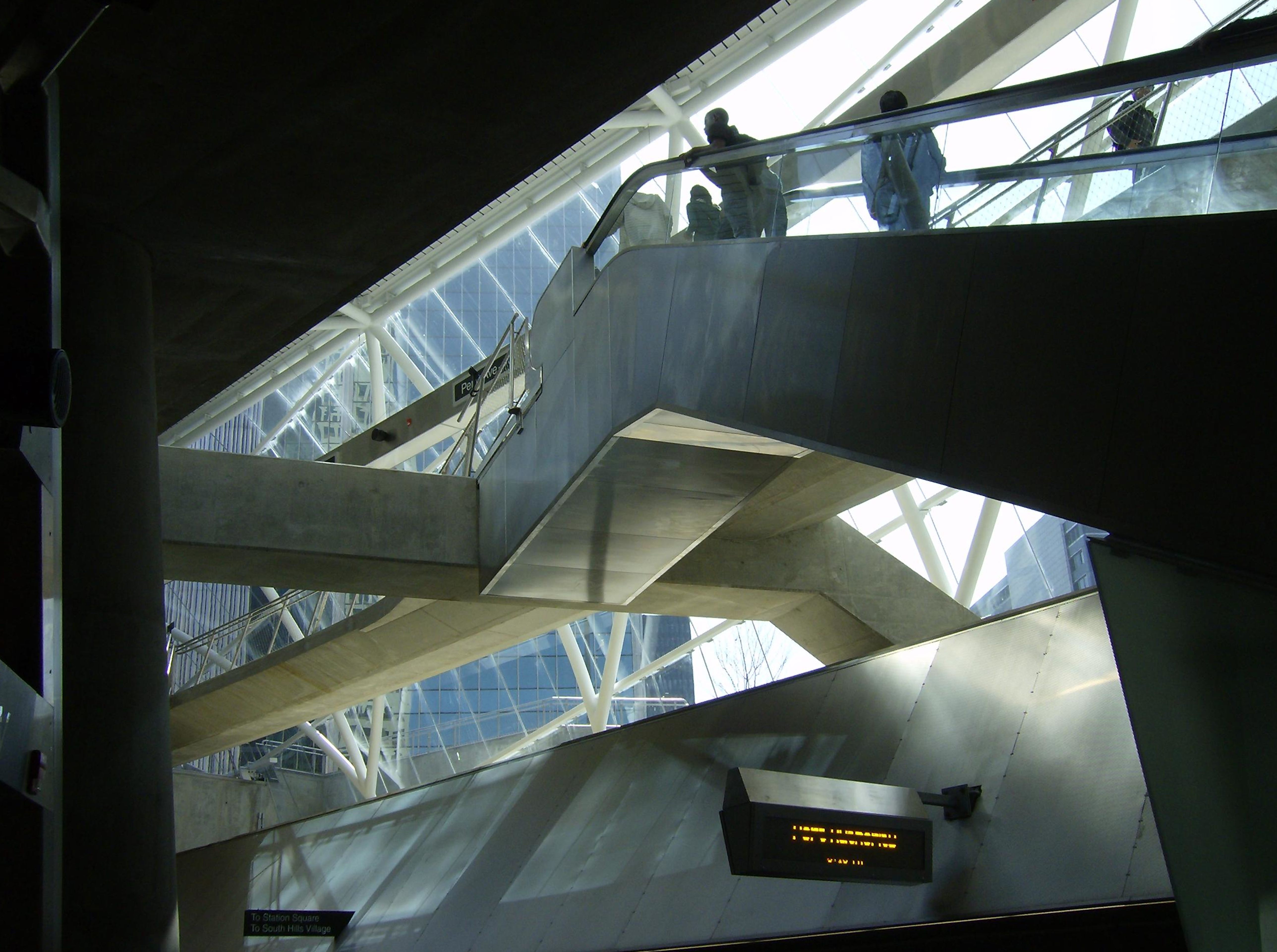
The Gateway station is full of fascinating geometries. These pictures were taken shortly after the station opened in 2012.
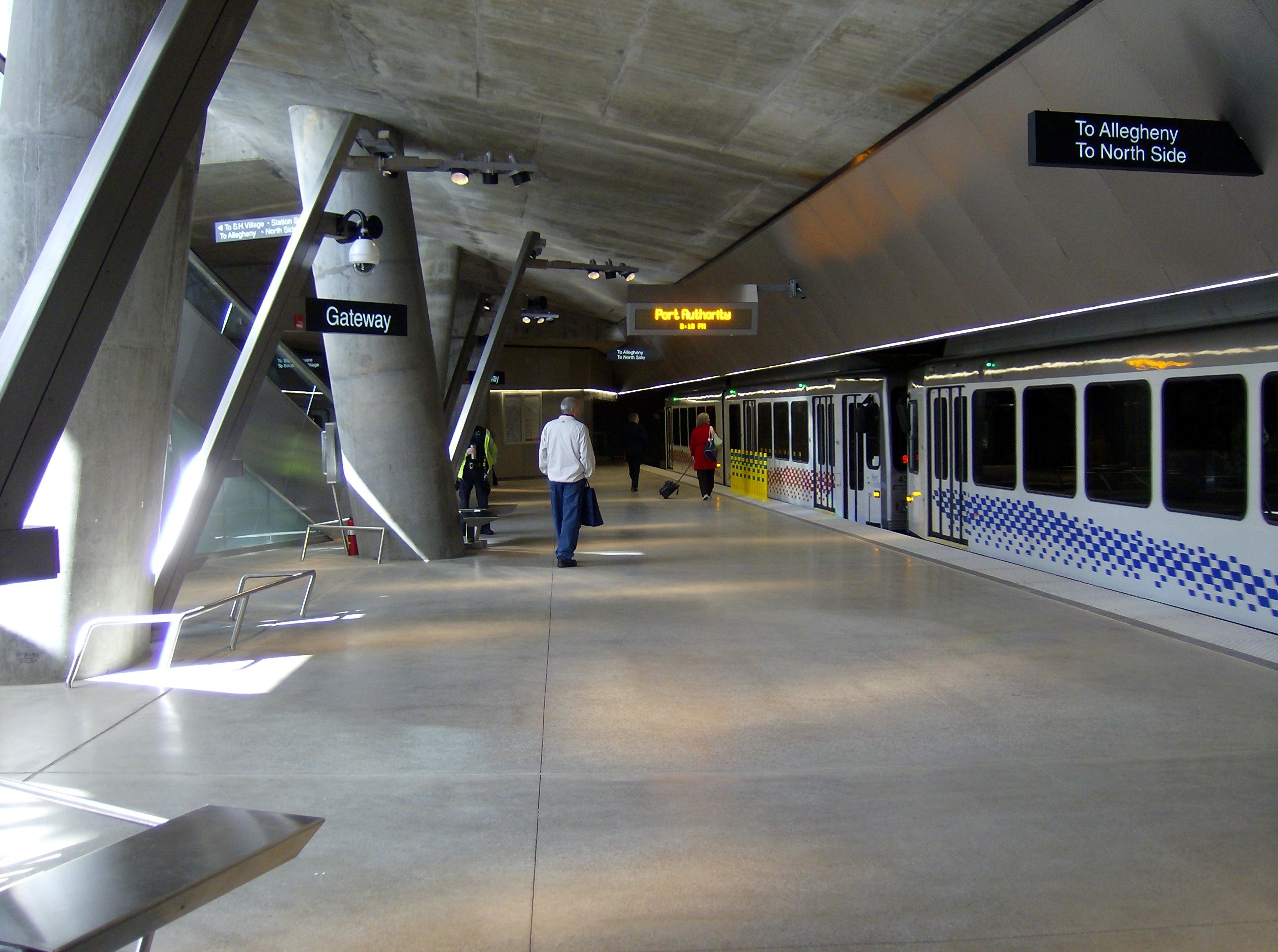
The Gateway station is full of fascinating geometries. These pictures were taken shortly after the station opened in 2012.

You used to come down these stairs from the street to enter Gateway Center, and if you were lucky you would hear the sound of wheels squealing around the loop, indicating that you were just in time.
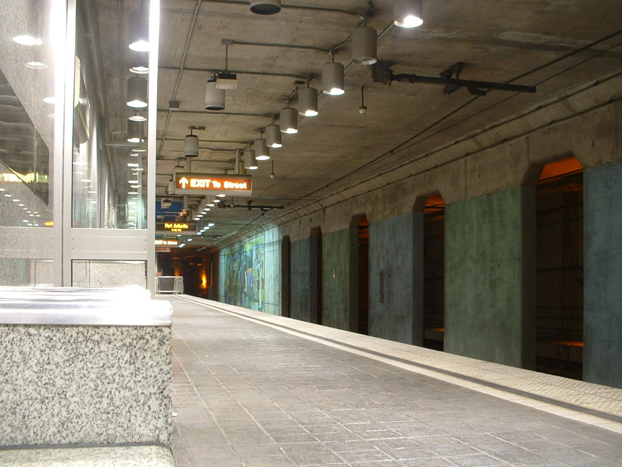
The old Gateway Center station closed forever on October 30, 2009, as the new line to the North Side was under construction. These pictures were taken on the old station’s last night in service. A new Gateway (not Gateway Center) station, much larger and more pleasant, is open now, but the old Gateway Center is still there as a ghost station, almost unchanged since the day it was abandoned. If you are leaving Gateway headed for Wood Street, you can see the old station on the right side of the car.

Approaching the platform…

The last time old Pa Pitt glanced out the window at the ghost station, those posters on the right were still there.

There was only one platform. Gateway Center was the end of the line, so the cars came in from the east (above), passed the station, went around a squealy loop, and came back in from the west. Watching the car pass straight through the station often gave out-of-town visitors a moment of panicked confusion.
Here we are looking toward the loop, listening to the squealing wheels as our car comes around for us.

At last our car enters the station. Note the lower-level platform, blocked off by this time, that was built to accommodate the old PCC cars, some of which ran in Pittsburgh until 2003. (Some of those same cars, completely rebuilt, are now running in San Francisco.) These lower-level platforms can still be seen at Steel Plaza and Wood Street. The PCC cars were also the reason for the loop: the more modern Siemens and CAF trolleys are double-ended, but PCC cars went in only one direction.

We board our car for the very last time, knowing that we will never hear that loop squeal again.
For some time after the new station opened, the announcements on the cars were still clearly the old recorded announcements, but truncated: the professional announcer voice said “Approaching Gateway C—” as the car rolled into the station. Those announcements have now been re-recorded, but old Pa Pitt secretly enjoyed them. Many cities have ghost stations in their subways, but Pittsburgh was the only city with a ghost sibilant.

A view from the outbound platform of the Station Square subway station in 2001. Except for the signage, not much has changed.
Although the Brown Line through Allentown is no longer in regular service, the Port Authority keeps it active for use as a detour when the Transit Tunnel under Mount Washington is closed. For several weeks in August of 2019, the tunnel was under construction, and all Red Line and Blue Line cars had to go over the Brown Line route. This is a simple record of what you see out the right-hand window on a car inbound from South Hills Junction to Steel Plaza. We go up Warrington Avenue and down Arlington Avenue, over the Panhandle Bridge, and into the subway.
If you are not a trolley geek, this may possibly be the dullest video you have ever encountered. If you are a trolley geek, you are already panting and drooling, so go to the Wikimedia Commons hosting page..

For trolley geeks, here is a 4100 series Siemens car picking up passengers at the Hampshire stop on Route 42 in Beechview in 2001. This is the livery these cars were originally issued when they were put in service in the middle 1980s. Route 42 is now the Red Line, and the 4100 series cars were rebuilt as the 4200 series, with a new livery to match the newer CAF cars.
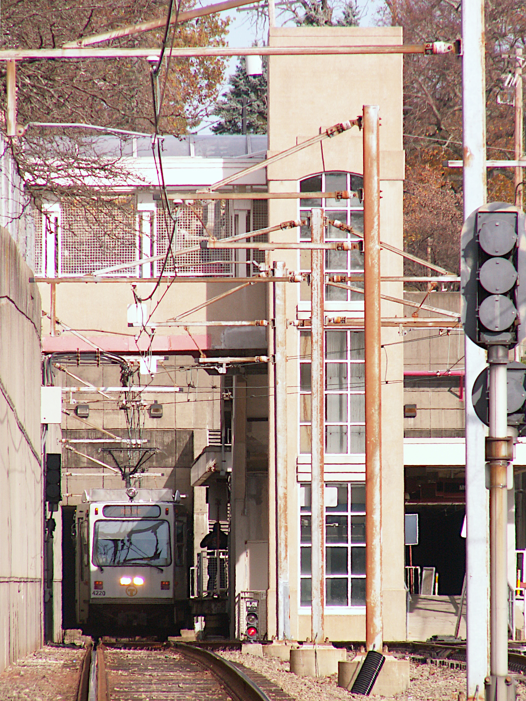
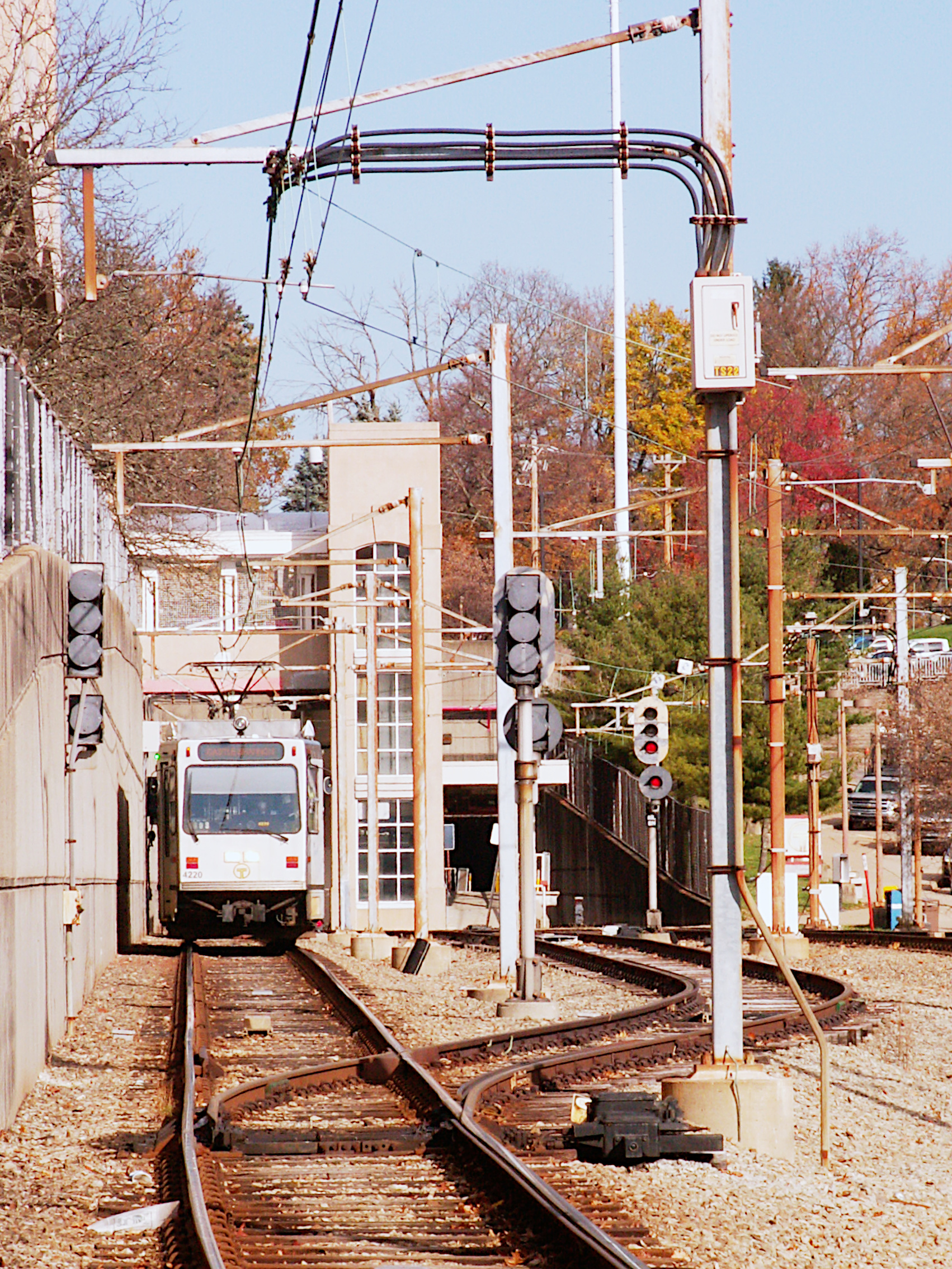
A 4200 series Siemens trolley comes out of the Mount Lebanon subway tunnel into the Mount Lebanon station, and then continues on its way.

At the Alfred Street crossing on the Red Line in Mount Lebanon. Above, an inbound Siemens trolley on a training run. Below, an outbound CAF trolley.

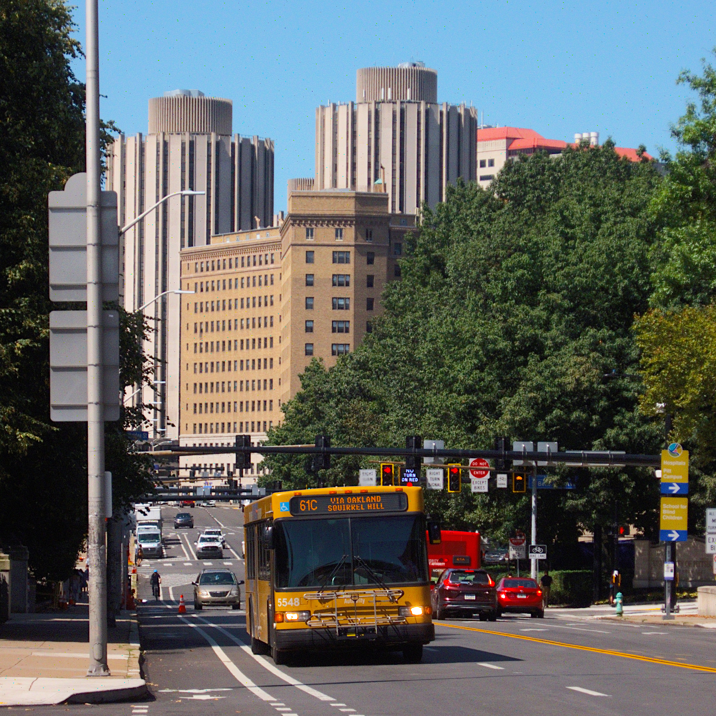
A 61C bus comes eastbound on Forbes Avenue toward the stop in front of the Carnegie Museum of Art. In the background we can see central Oakland, with two of the three Litchfield Towers, the distinctive cylindrical skyscraper dormitories.
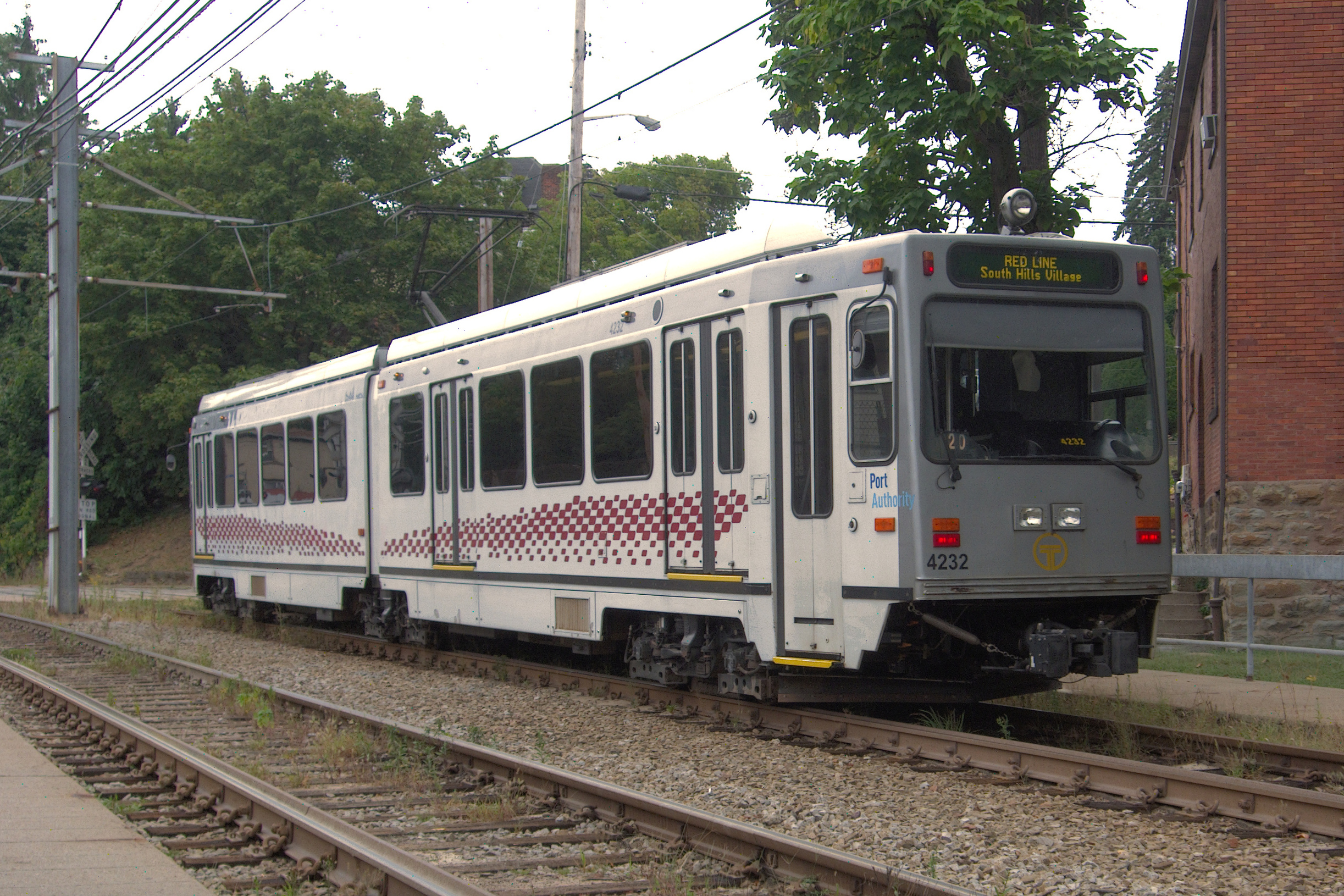
Here are two pictures especially for trolley geeks. These 4200-series Siemens cars (this one is number 4232) were bought in the 1980s and completely rebuilt in the 2000s. They make up about two-thirds of the fleet. They are very similar to the later CAF cars, but easily distinguished by the two headlights in the center (rather than at the sides) and the “cyclops eye” high beam mounted on the roof. Of course, they are also easily distinguished by being numbered in the 4200 series; the CAF cars make up the 4300 series. This car is southbound on the Red Line, heading for central Beechview.
The picture above gives us a good look at what old Pa Pitt calls the “Pittsburgh door,” the extra street-level doors that have to be added to all Pittsburgh trolleys to deal with our odd combination of platform-level stations and street-level stops.


