-
Moon Over Mount Washington
-
Duquesne Incline
-
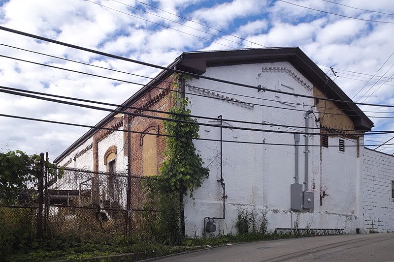
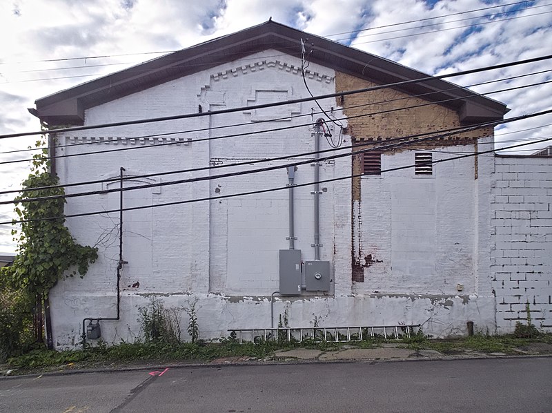
Power House for the Mount Oliver Incline

Most Pittsburghers with an interest in local history know that there were many inclines operating in the city a hundred years ago. Few know that part of the Mount Oliver Incline is still here. The incline itself closed in 1951, and the stations are gone, but the power house, which was across Warrington Avenue from the upper station, still stands. It has been converted into a shop for a heating and air-conditioning contractor.


Map.
-
It Used to Be an Incline

Why is there a narrow strip of forest between these two streets on Mount Washington? And, for that matter, why was the neighborhood laid out with two streets so absurdly close together, so that nothing fits between them but a narrow strip of forest?
You already know the answer, of course, because you read the title of this article. It used to be an incline.
Several inclines, of which two are still going, went up Mount Washington from the South Side. Only one went down the back slope of Mount Washington: Castle Shannon Incline No. 2, which began at the upper station of the Castle Shannon Incline on Bailey Avenue and ran down along Haberman Avenue to Washington Avenue (now Warrington Avenue) in Beltzhoover. This was more or less a cable-car line, like the ones that still run in San Francisco and ran all over Pittsburgh for a brief period before electric streetcars took over. It ran for a little more than twenty years; it opened in 1892 and was closed in 1914.


This picture of abandoned freight cars along the incline, taken in 1916, shows the cable in the middle of the track.
-
Working on the Incline

The Monongahela Incline is getting a thorough going-over. They’re going to fabricate new drive sheaves and replace the gabions, and if you understand what those things mean you probably know a lot about inclines. Here’s something you might like: “Glass flooring will be installed in the Upper Station waiting area that will allow the public to view the inner workings of the Incline.”
Here we see the upper station: note the incline car parked just below the station to empty out the building for the work.
-
Monongahela Incline, Upper Station
-
Station Square from Across the River
-
Pittsburgh & Lake Erie Station

The old Pittsburgh and Lake Erie station, now the centerpiece of the Station Square entertainment district, with the Monongahela Incline in the background.

Although the angle is distorted here by a telephoto lens, the building is not rectangular. A satellite view reveals the odd shape.
A view of the interior, now a restaurant called the Grand Concourse, is here.


