Tag: Cityscapes

  • Billy Buck Hill

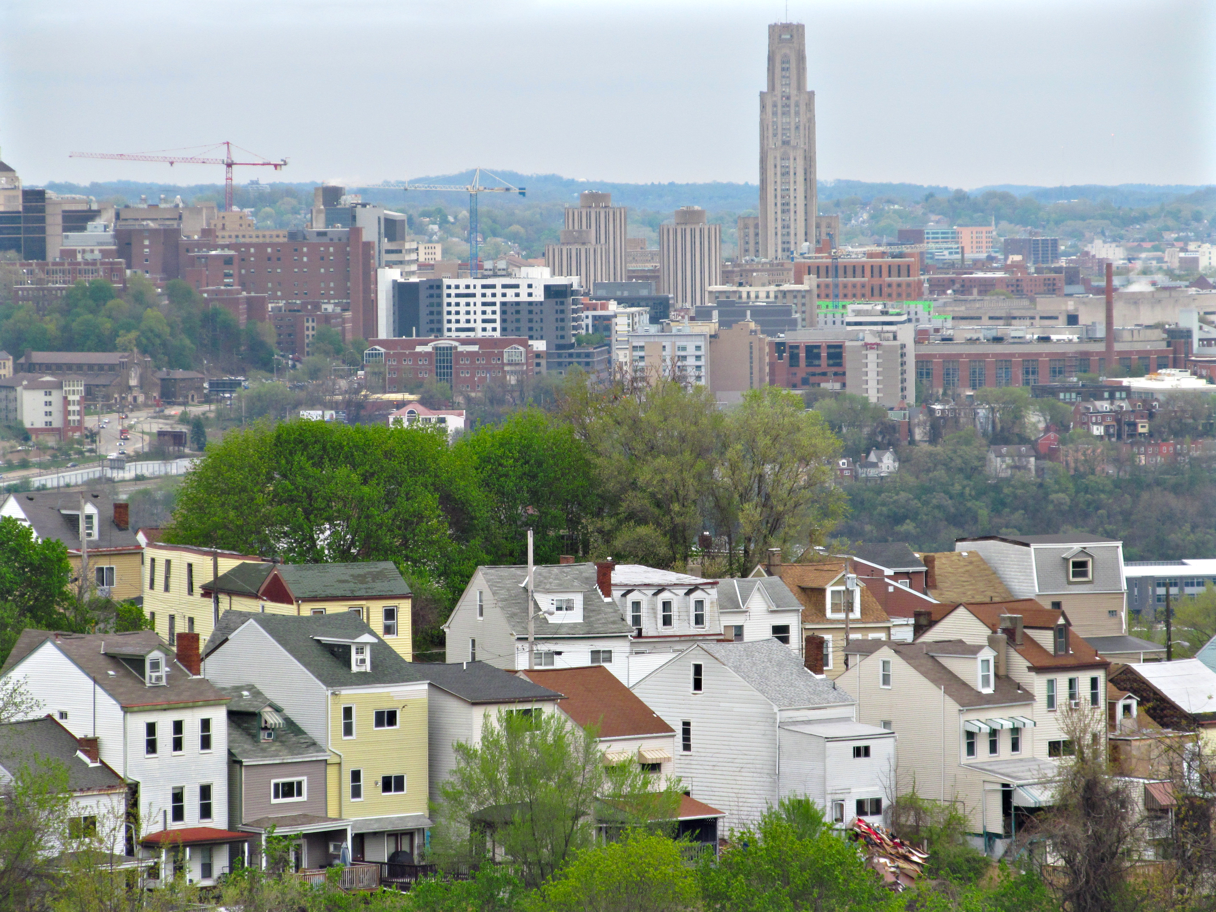
    South 18th Street, which used to be the Brownsville Plank Road before it was taken into the city of Pittsburgh, snakes up through the South Side Slopes, following an ancient track that probably predates European settlement. It makes a long loop around a lumpy eminence known locally as Billy Buck Hill, where typical tall and narrow Slopes houses crowd on absurdly precipitous lots. These houses in the foreground are lined up along St. Paul Street. In the background, across the Mon, we see Oakland, which is as usual full of cranes.

    The usual story of the etymology of Billy Buck Hill has to do with goats having been kept there, and that seems plausible. But old Pa Pitt is not willing to swear to it, because it has the look of one of those ex-post-facto etymologies suggested speculatively as the probable reason for the name, and then picked up as the only possible explanation and presented as fact.
  • South Side Flats

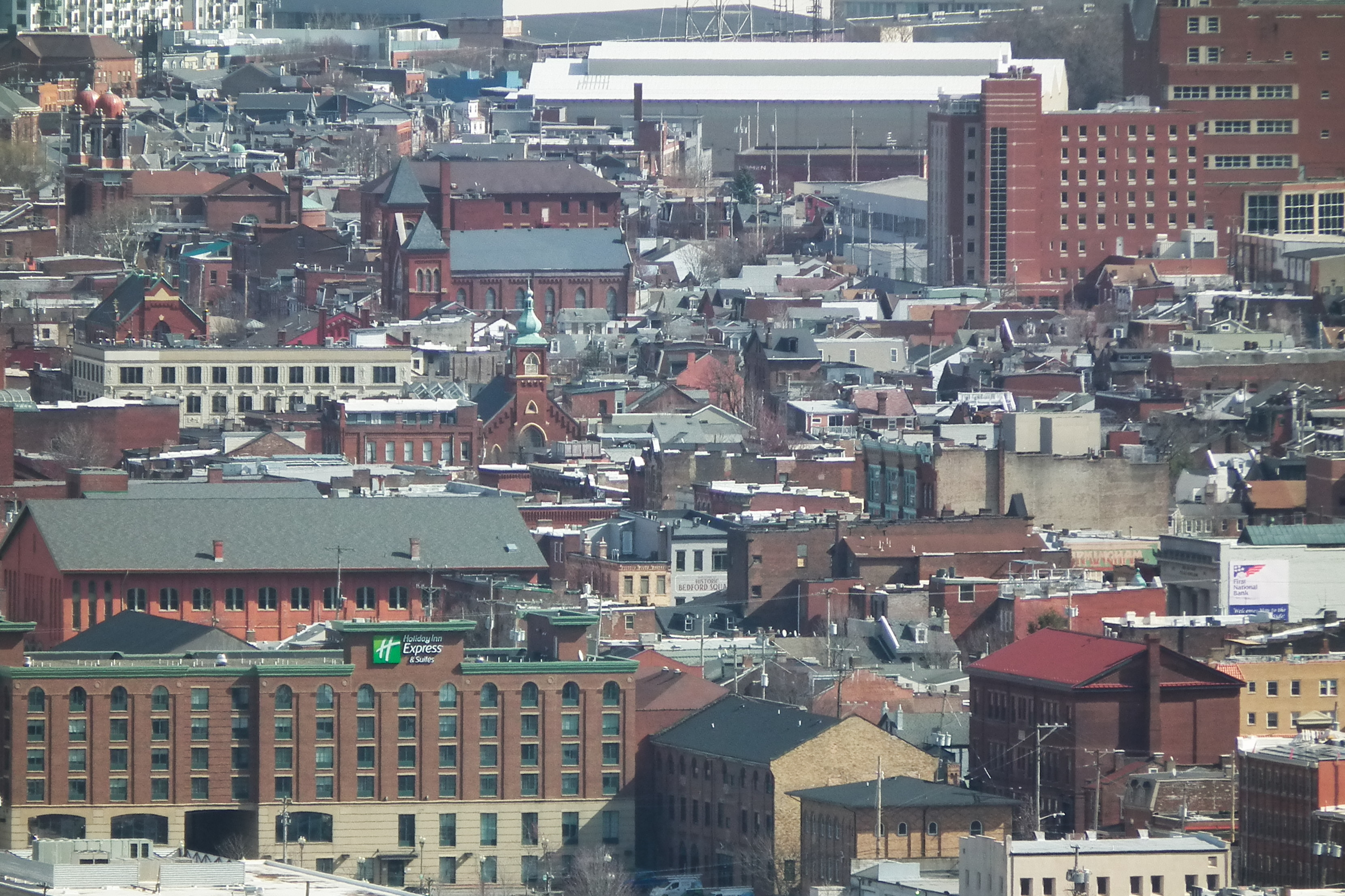
    A view of the densely cluttered South Side Flats from Mount Washington.

  • Some Late-Winter Skyline Pictures

  • Oakland from Across the River

    Litchfield Towers and Cathedral of Learning

    Views of central Oakland from the South Sides Slopes across the Monongahela. Above, the Cathedral of Learning and Litchfield Towers A, B, and C, or—as they have been known since they sprouted on the Oakland skyline—Ajax, Bab-O, and Comet.

    Litchfield Towers

    A closer view of the Litchfield Towers.

    Cathedral of Learning

    The Cathedral of Learning and its neighborhood.

    Central Oakland
  • Back Slopes of Mount Washington

    Trimont and back slopes

    Long views with a long lens remind us of what an absurd place this is to build a city. Above, the Trimont looms over houses and small apartment buildings that it makes look tiny; below, uncommon views of St. Mary of the Mount Church.

    St. Mary of the Mount
    St. Mary of the Mount
  • Central Oakland

    Central Oakland

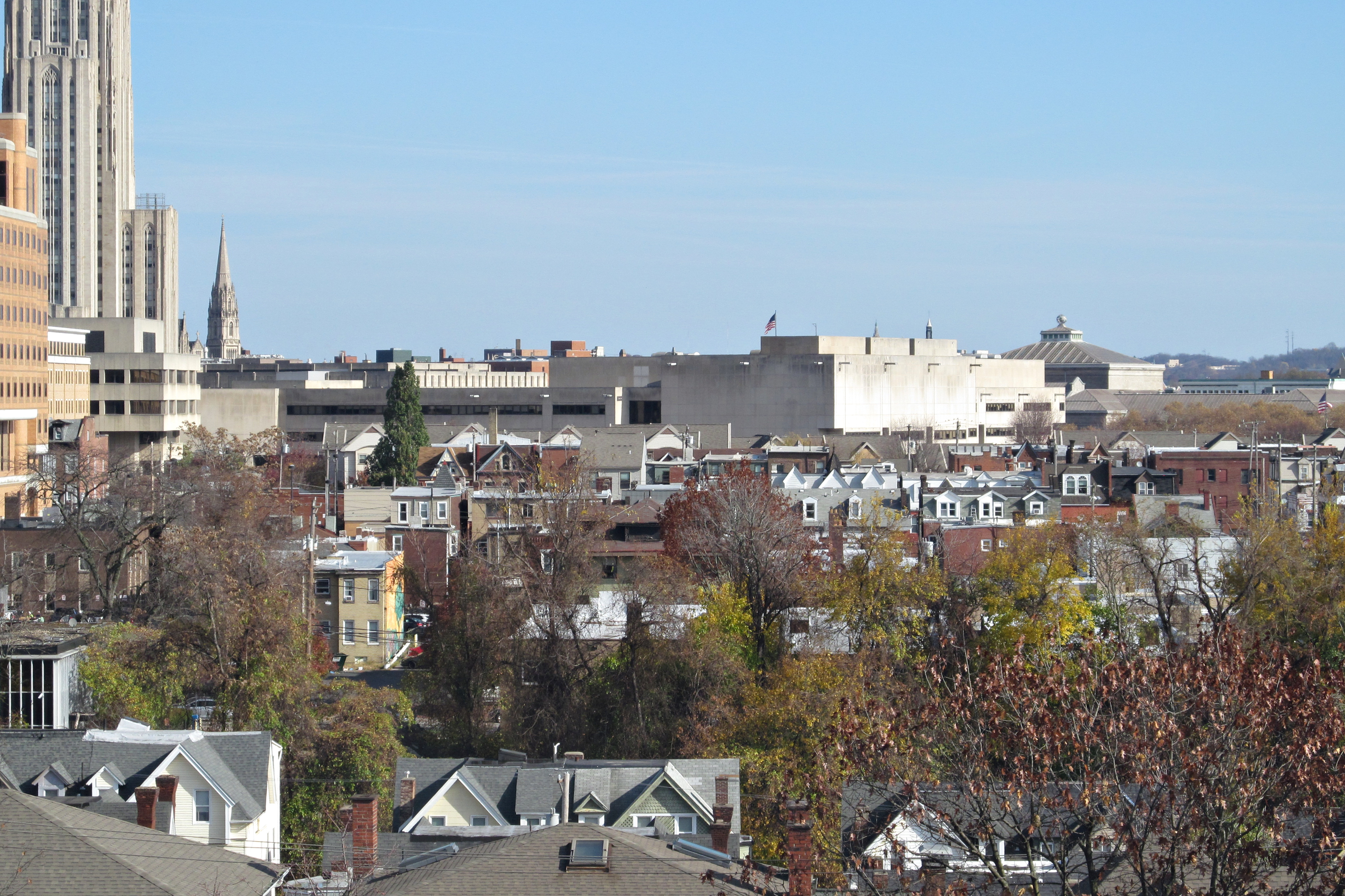
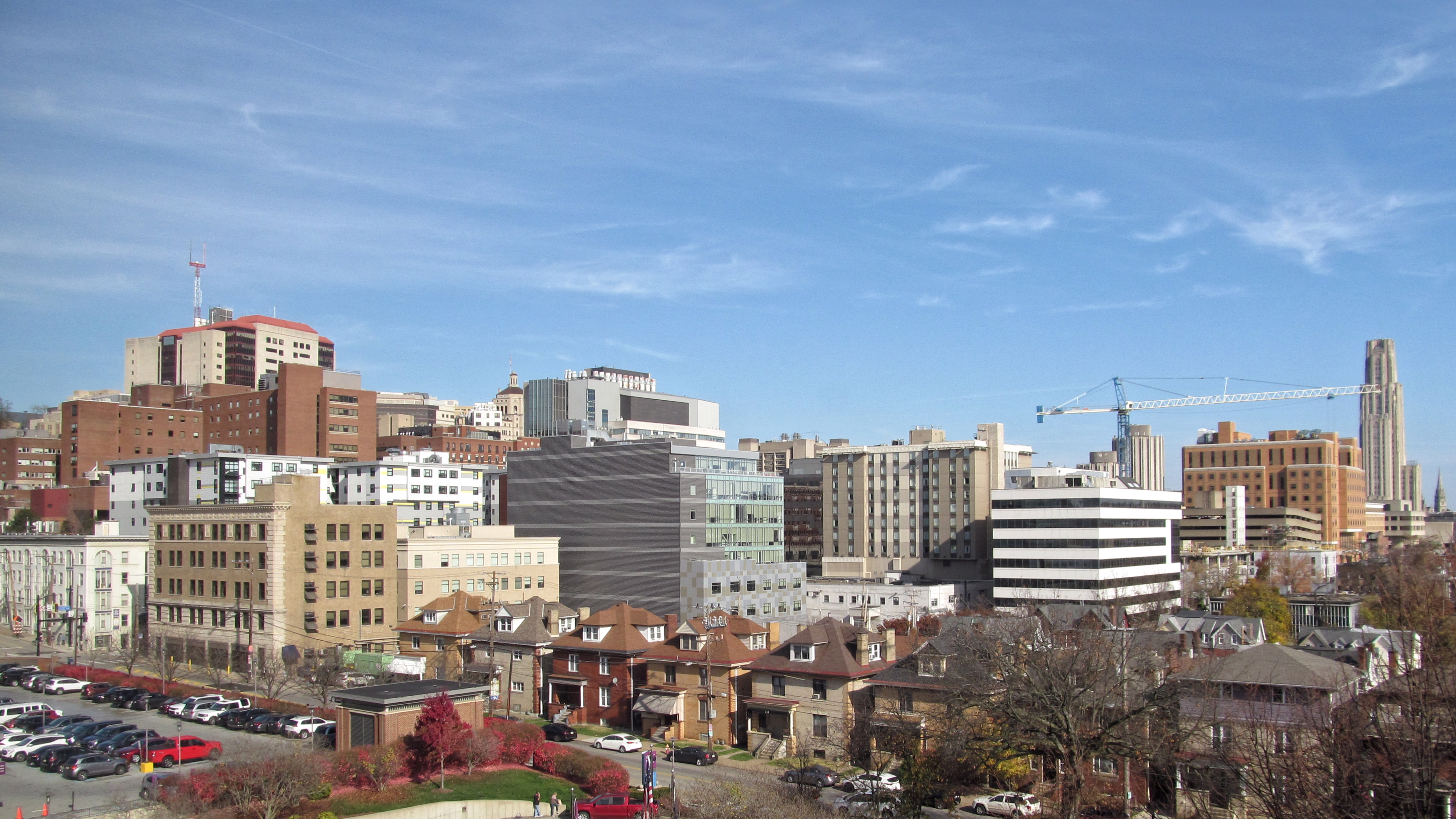
    The cluttered landscape of the central Oakland medical-intellectual district.

    Crane

    Something is always under construction.

    Back streets

    Rowhouses huddle in the shadow of the university.

    Wide view
  • Skyline from the South Side Slopes

    Skyline from the South Side Slopes

    The skyline of downtown Pittsburgh as seen from the back end of Warrington Avenue on the South Side Slopes.

    Skyline with more Slopes
    Slightly wider view
  • View from the Rotunda of Penn Station in 2000

    View from the Rotunda

    A view from the rotunda of Penn Station, taken in 2000 with an Argus A, a 35-millimeter camera made by the Argus Camera Company in the 1930s. It was meant to capitalize on the popularity of the very expensive Leica without being anything like as expensive as the Leica. It is not a particularly good camera, but it is small, and it is durable, and if you treat it right you can get pictures like this out of it.

  • The Skyline in 1994

    Skyline of Pittsburgh

    When he took pictures of two halves of the skyline on Ektachrome film in 1994, old Pa Pitt had no notion of stitching them together. But it was an easy thing to do with our fancy 21st-century technology.

    Several prominent buildings have gone up since this picture was taken almost three decades ago, but the only one that makes a great difference in the appearance of the skyline is the Tower at PNC Plaza, which fills in a gap in the skyline just where a gap needed filling.

  • Slopes of Beechview from the Fallowfield Viaduct

    Back streets of Beechview from the Fallowfield Viaduct

    The Fallowfield viaduct is one of many engineering works necessary to get the Red Line as far as central Beechview. Its walkway is also a vital pedestrian link—vital enough that a few years ago, when the walkway was closed for repairs, the Port Authority gave free rides between Westfield and Fallowfield.

    In addition to taking us from here to there, the walkway gives us interesting treetop-level views of the hilly back streets of this part of Beechview.