Houses in the Grandview Plan lit up by golden winter sun, as seen with a long lens from Beltzhoover. We have seen some of the houses on Edgemont Street from a little closer; for example, the wide house with three dormers at lower left is the one we identified as designed by Henry Gilchrist.
The slopes of Knoxville, an independent borough until it was taken into Pittsburgh in 1927. Below, two very different towers: the tower of St. Canice on the left and the U. S. Steel Tower on the right.
This is the kind of view that makes Pittsburgh unique among American cities. The pictures were taken from the intersection of Cedarhurst Street and Estella Avenue in Beltzhoover.
The only safe way to get this picture is to have a chauffeur do the driving. The Veterans Bridge is old Pa Pitt’s favorite bridge for crossing the Allegheny, because it is the only one from which he cannot see the Veterans Bridge.
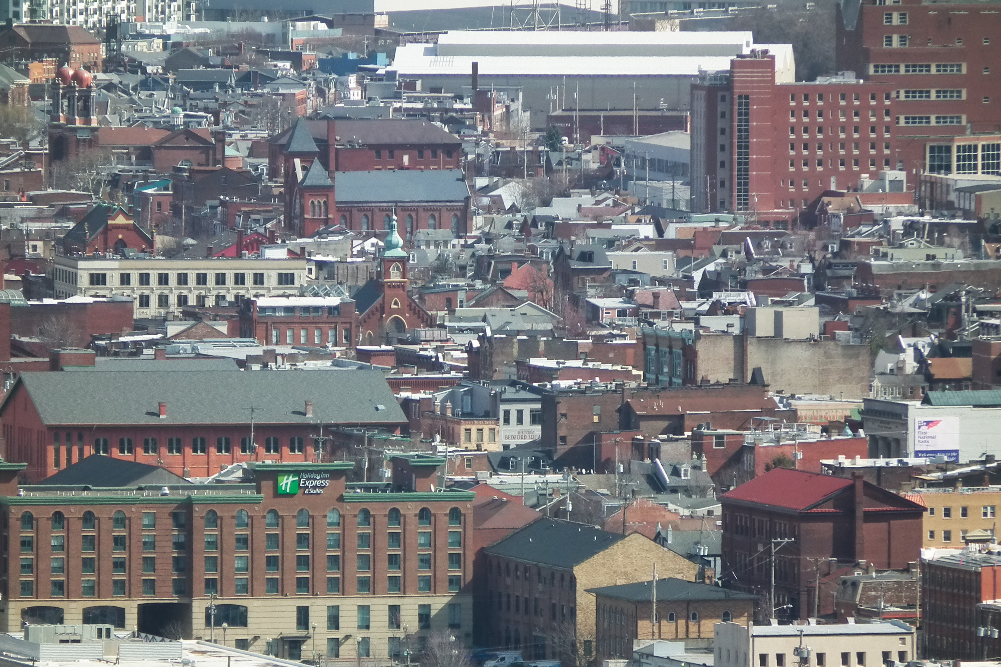
Pittsburghers love to show out-of-town visitors the inclines, the dinosaurs at the Carnegie, the view from Mount Washington, the sandwiches with cole slaw and French fries piled inside, and other attractions of the big city. But often what the visitors talk about most is that they can’t believe how those houses cling to the side of a cliff. Here are some views of the South Side Slopes from the Bluff across the river, so that you can show out-of-town friends who have not yet visited that houses do indeed grow that way in Pittsburgh.
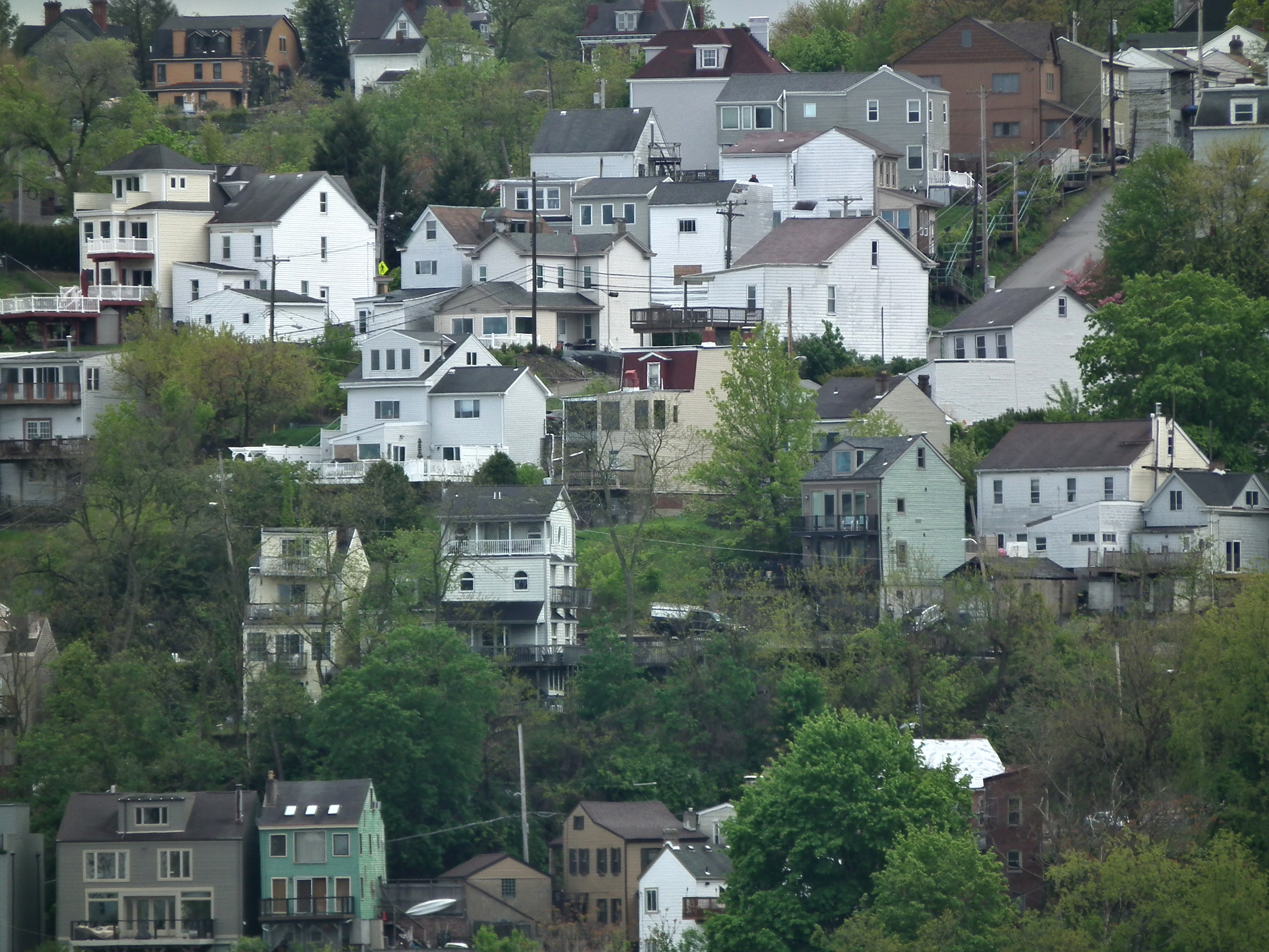
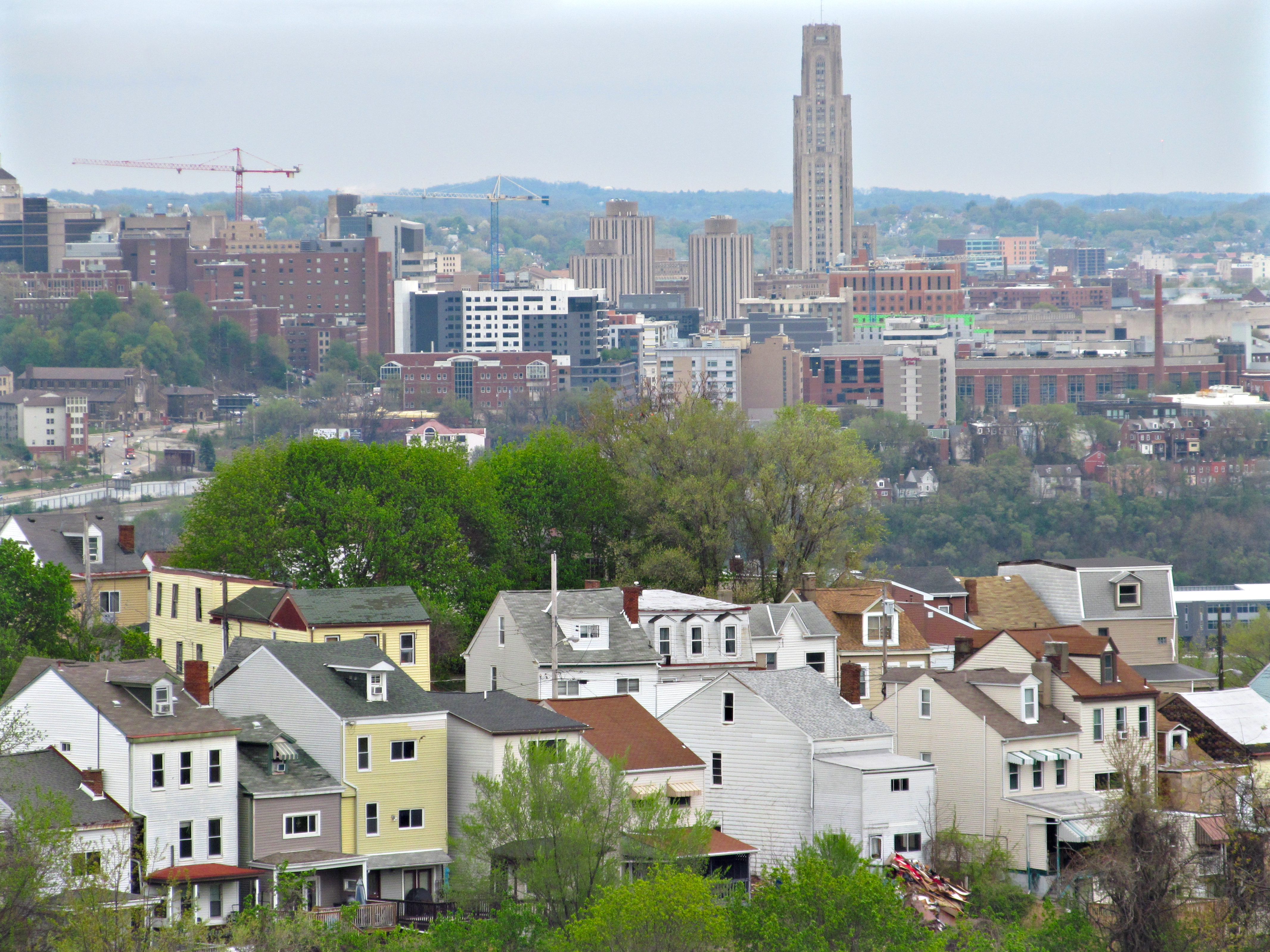
South 18th Street, which used to be the Brownsville Plank Road before it was taken into the city of Pittsburgh, snakes up through the South Side Slopes, following an ancient track that probably predates European settlement. It makes a long loop around a lumpy eminence known locally as Billy Buck Hill, where typical tall and narrow Slopes houses crowd on absurdly precipitous lots. These houses in the foreground are lined up along St. Paul Street. In the background, across the Mon, we see Oakland, which is as usual full of cranes.
The usual story of the etymology of Billy Buck Hill has to do with goats having been kept there, and that seems plausible. But old Pa Pitt is not willing to swear to it, because it has the look of one of those ex-post-facto etymologies suggested speculatively as the probable reason for the name, and then picked up as the only possible explanation and presented as fact.