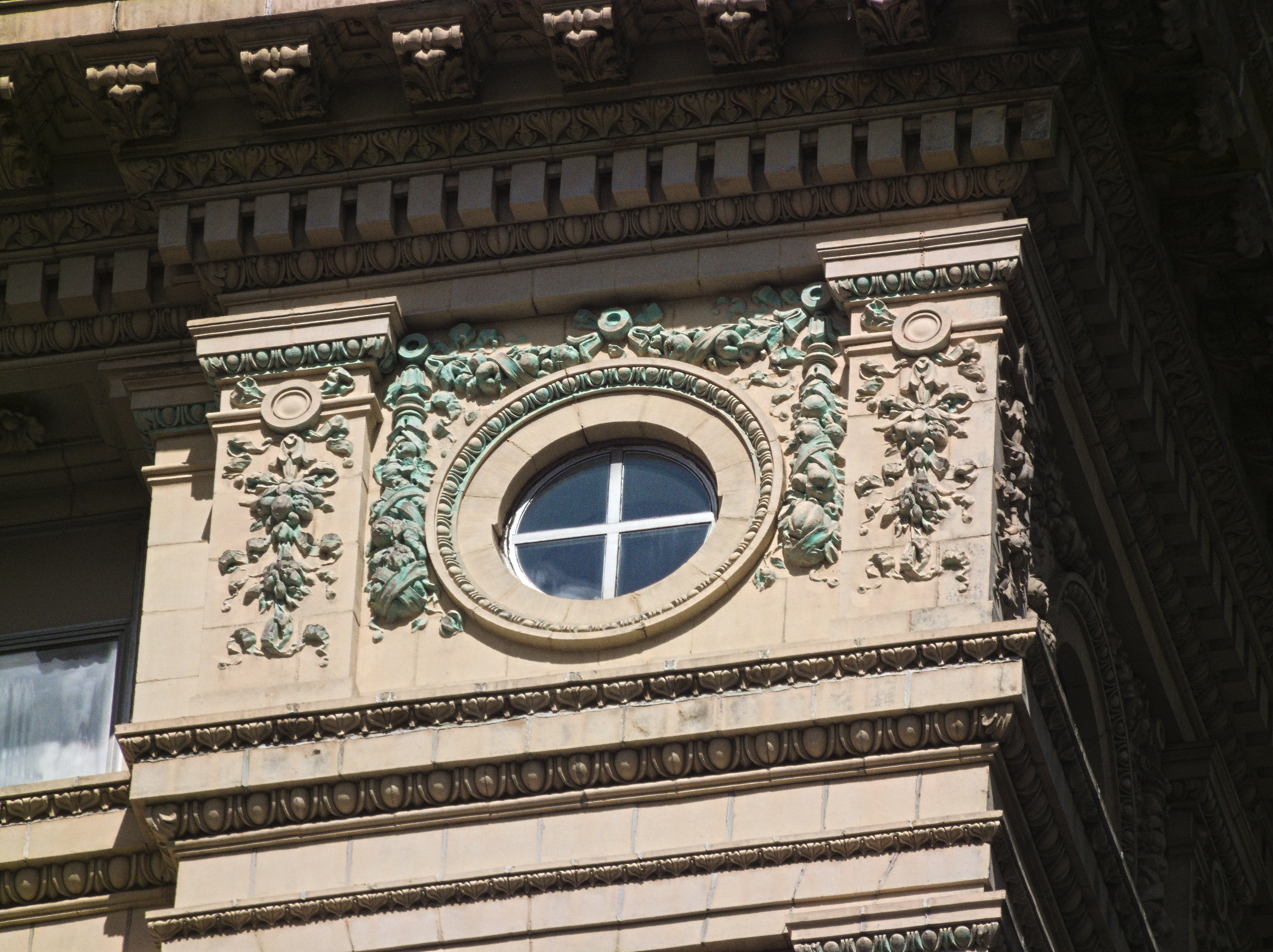
A “telamon” is a male human figure used as an architectural support. Most architectural references regard the term as interchangeable with “atlas” (of which the plural is “atlantes”), but some working architects seem to have distinguished the two, “telamones” being youthful, beardless figures, and “atlantes” being older bearded figures with pronounced or exaggerated musculature, like the atlantes on the Kaufmann’s clock. At any rate, the 1896 Park Building, which is our oldest standing skyscraper (if we don’t count the seven-storey Consetoga Building as a skyscraper), has thirty of these figures supporting the elaborate cornice. The sculptor seems not to be known, which is a pity, because these are exceptionally fine work. The architect was George B. Post, who also designed the New York Stock Exchange and the Wisconsin state capitol, among many other notable buildings.

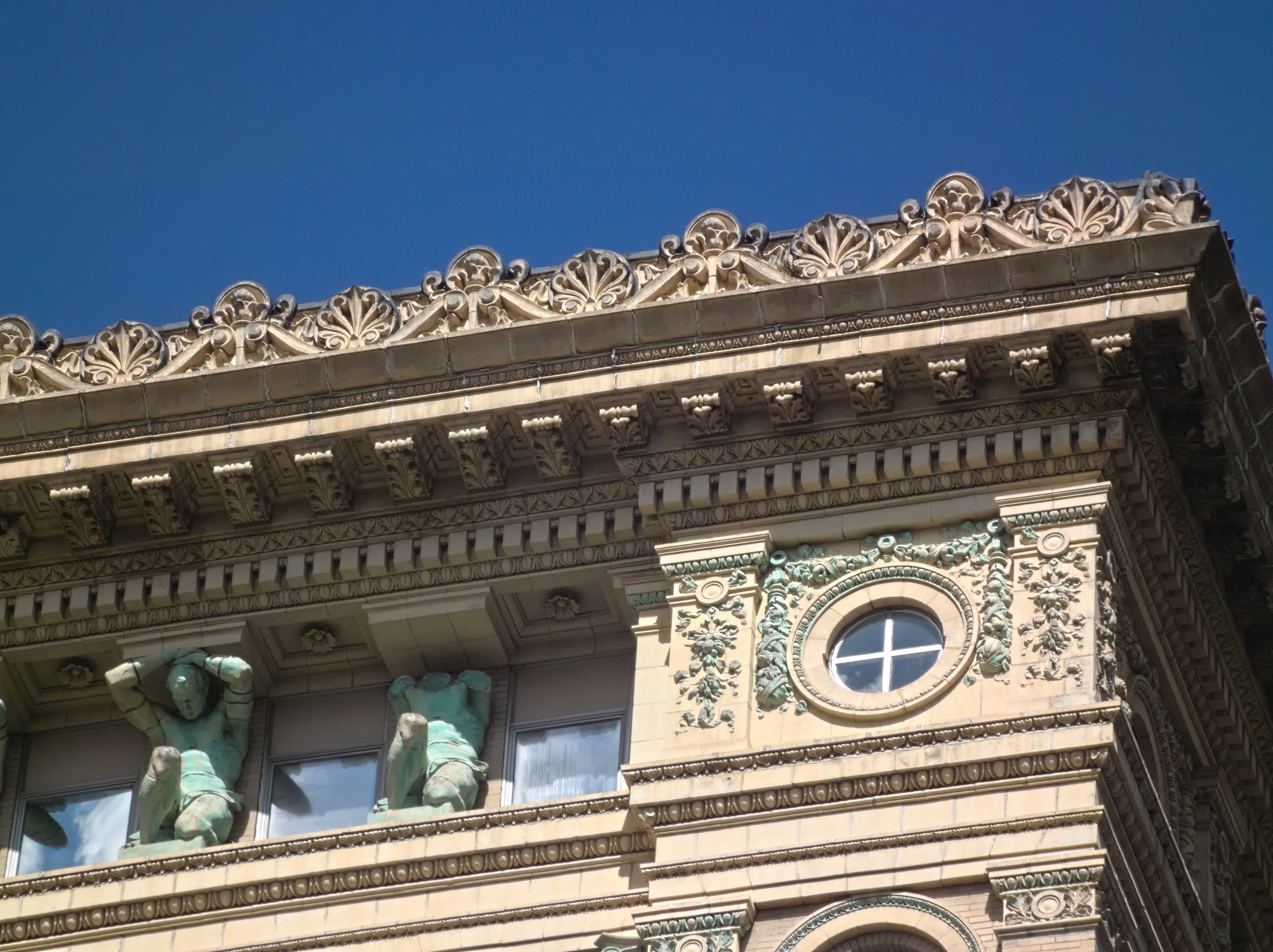
One of these fellows has lost his head, which you might do, too, if you had to hold up a cornice like that for 126 years.

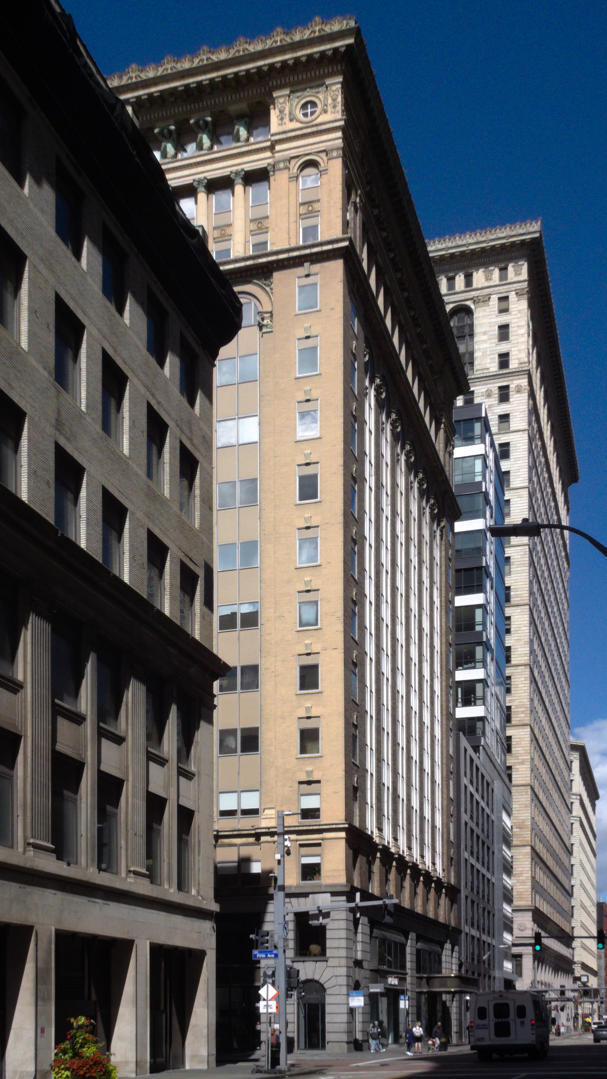
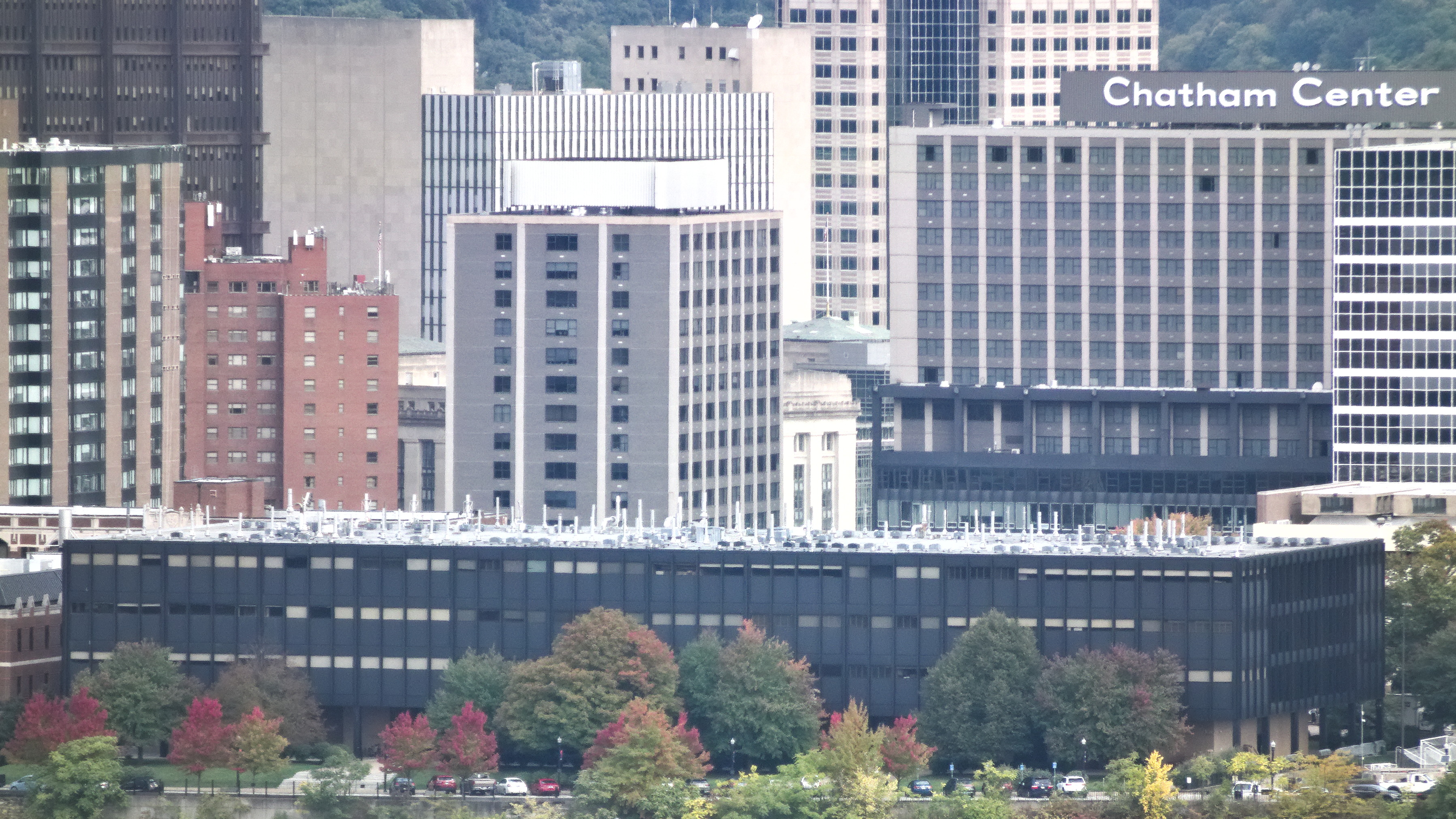
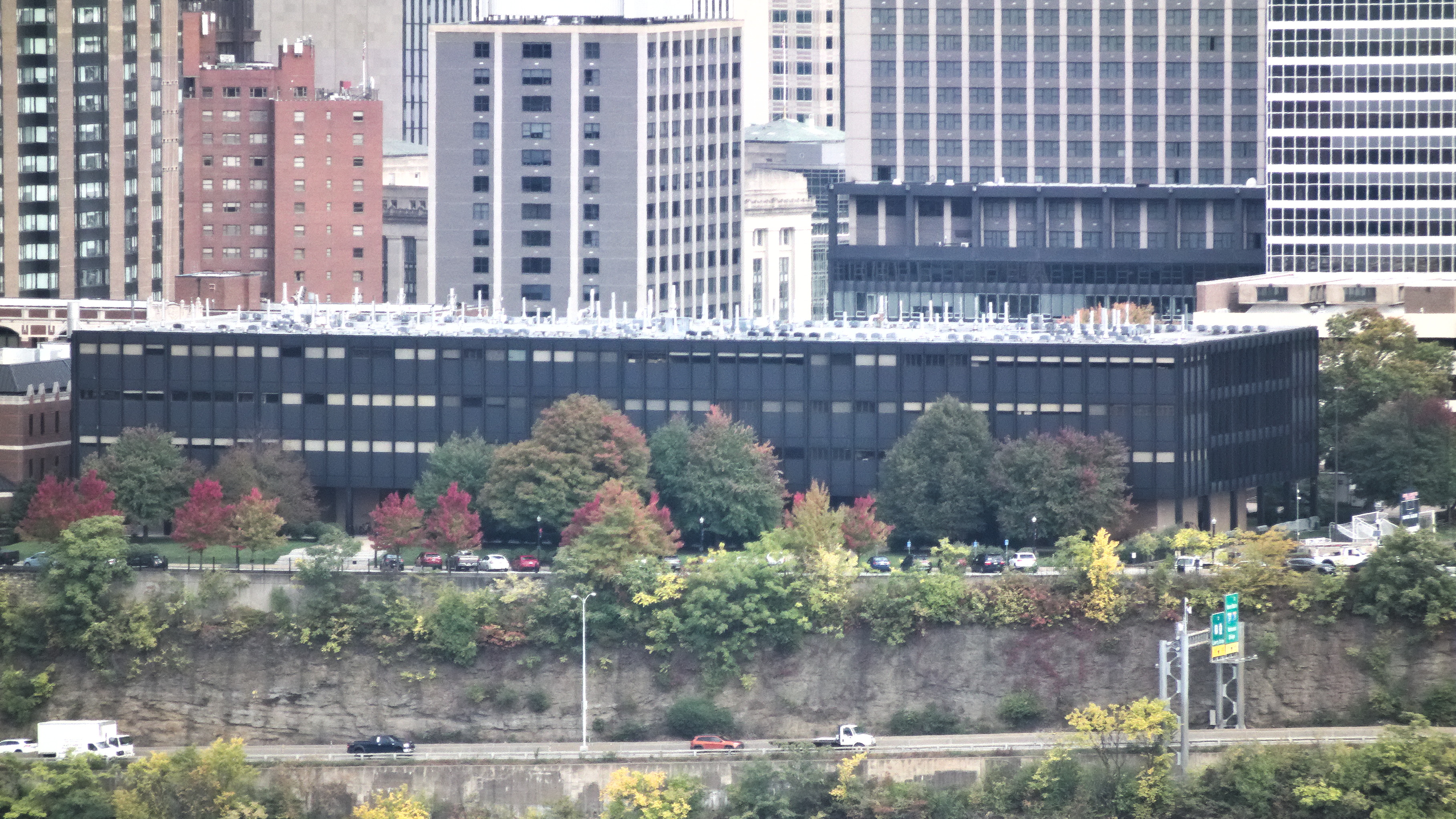
At some point in the middle twentieth century it seemed like a good idea to someone to fill in the shaft of the building with modernistic columns of windows. It was not a good idea.