-
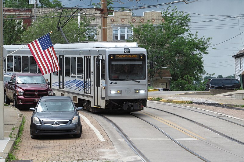
Streetcar on Broadway, Beechview
-
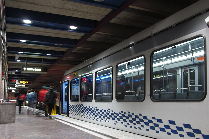
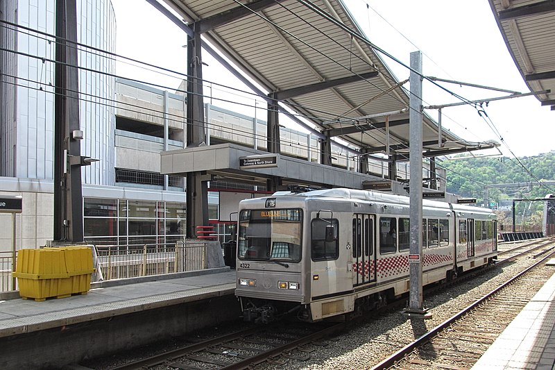
Trolleys in Gateway Station
A two-car Blue Line train comes in from Wood Street and heads out under the Allegheny to North Side; a Silver Line car departs for Wood Street. You can see the video at full resolution on its Wikimedia Commons hosting page.
The video is obviously hand-held. There are some very sophisticated video-stabilizing algorithms in our video-editing software, but the parade of identical square windows in a moving trolley makes them panic and jiggle the picture all over the screen, so we give you the video without stabilization.
-
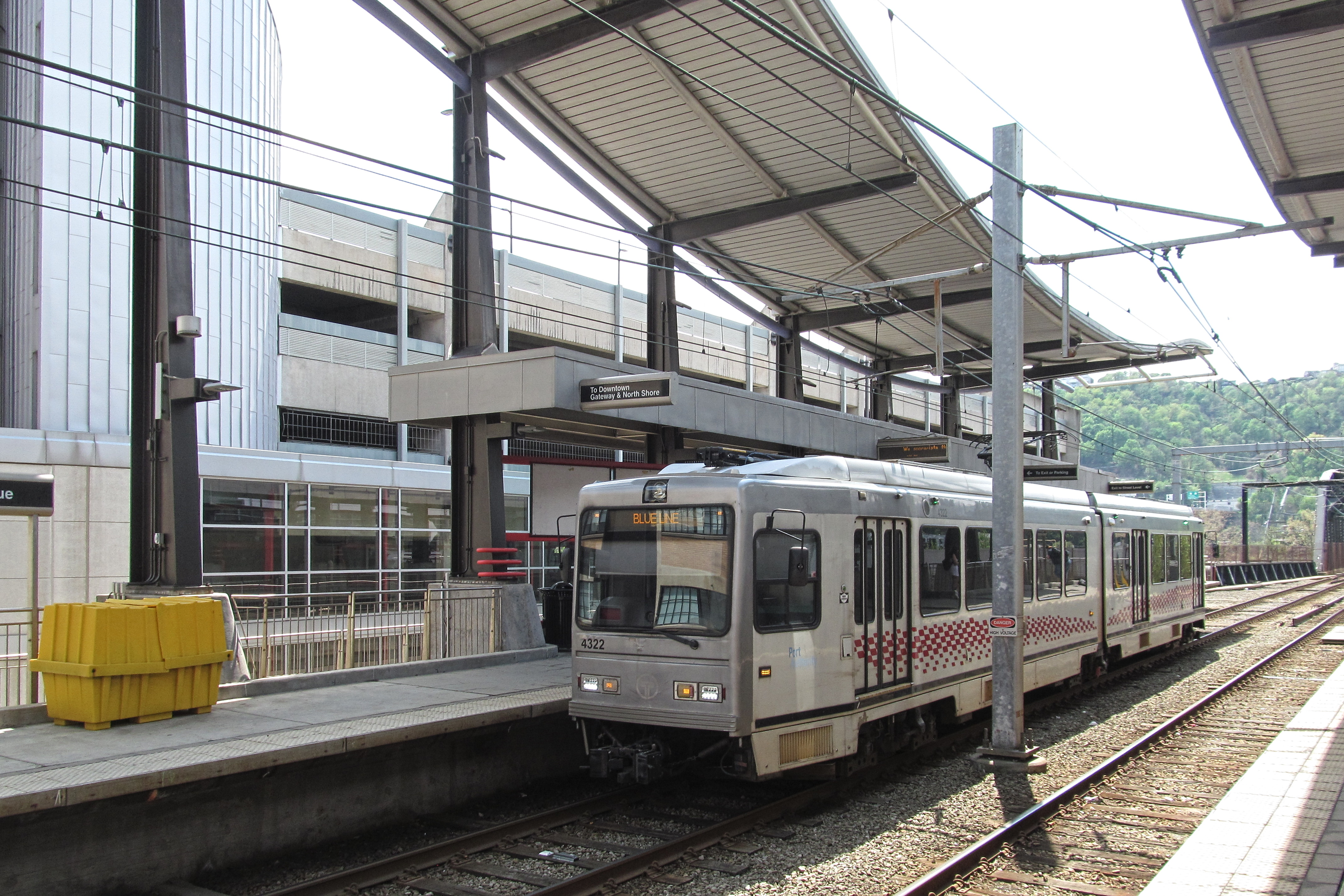
First Avenue Station

Above, the First Avenue subway station (which is an elevated station, but it’s on the part of the line we call the “subway”) from First Avenue. Below, a CAF 4300-series Blue Line car comes in from the Panhandle Bridge.


-
In a Streetcar

The interior of a 4200-series Siemens car. These were the “LRVs” (for “light-rail vehicles,” which is better than “trolleys” or “streetcars” because it has three more syllables) that were ordered in the 1980s when the subway was built, and then refurbished to match the new 4300-series cars from CAF.

-
Gateway Station
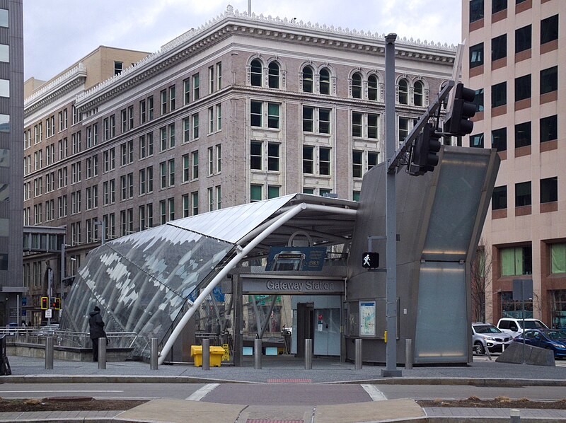
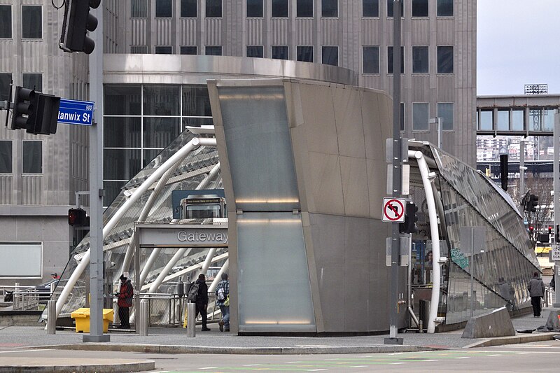
Architect Rob Pfaffman gave us just about the most whimsical subway entrance old Pa Pitt has ever seen, and he has been places and seen things. The whole station is unique, above and below the ground. There are no right angles, or at least very few. Yet from a practical point of view, nothing is confusing, and the station works very well for its intended purpose, which is to get us into a trolley quickly.

-
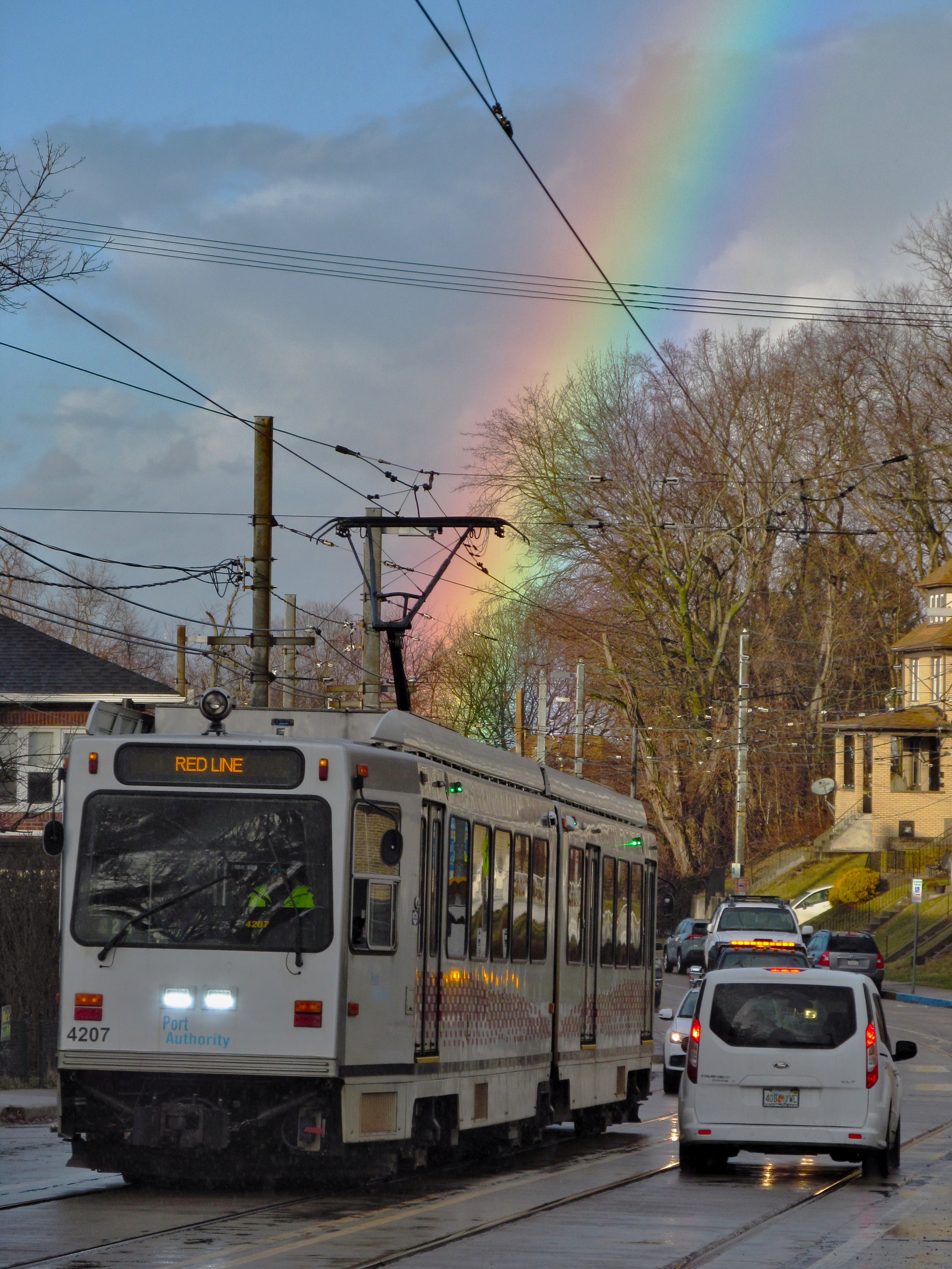
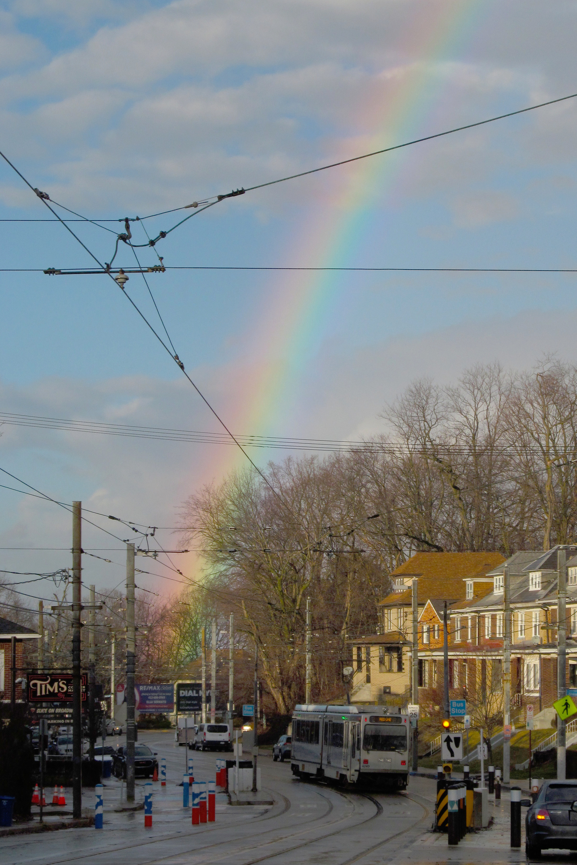
At the End of the Rainbow

In Beechview, you always find a streetcar at the end of the rainbow.


-
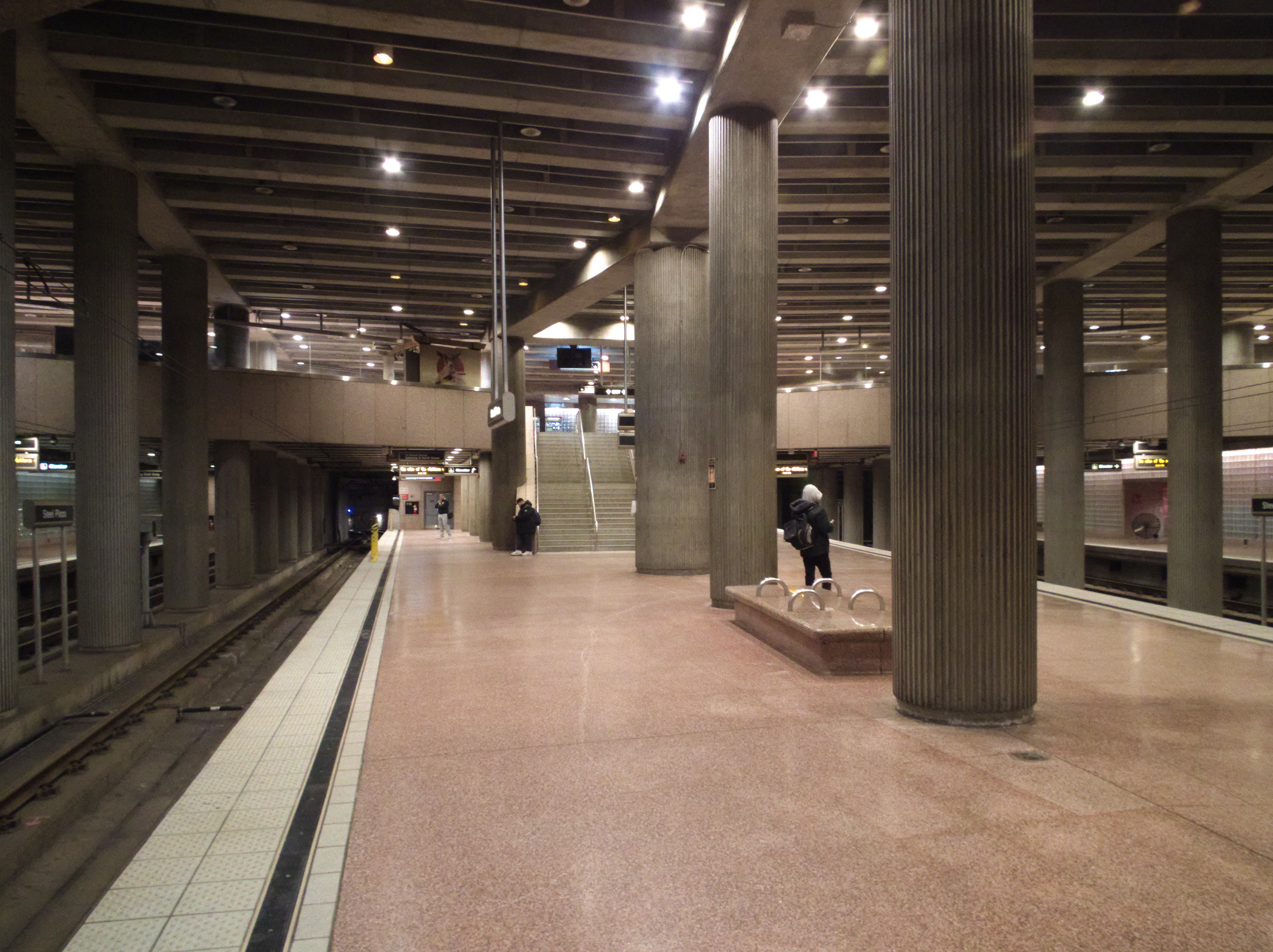
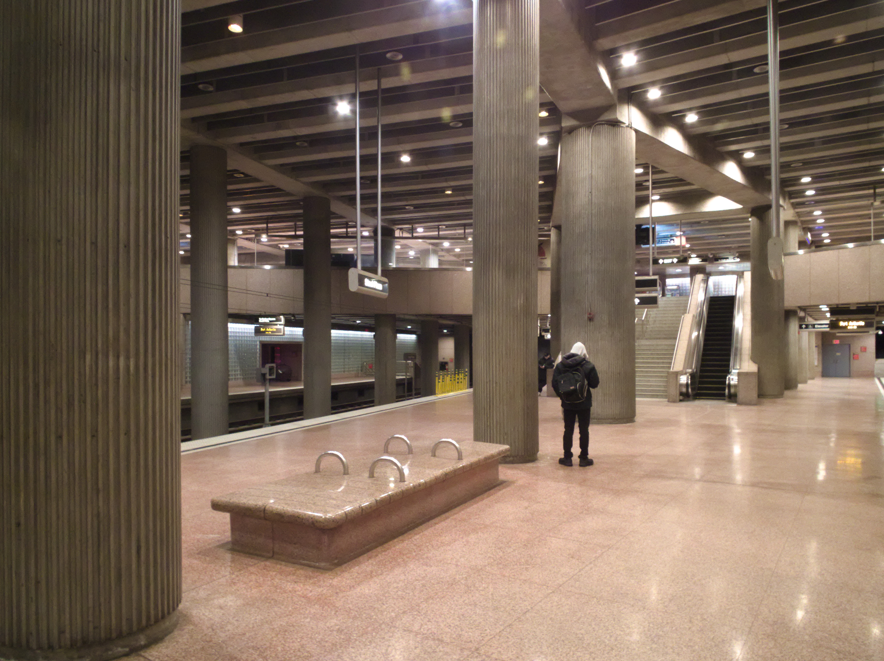
Steel Plaza Subway Station

Steel Plaza was designed in the 1980s, and its architecture is an interesting combination of Brutalist and Postmodern styles—the two most prominent materials are raw concrete and polished granite. It was built as a junction station, where the main subway line met the spur to Penn Station, which is not in regular service these days. In the picture below, the main line is on the left, and the spur is on the right.


-
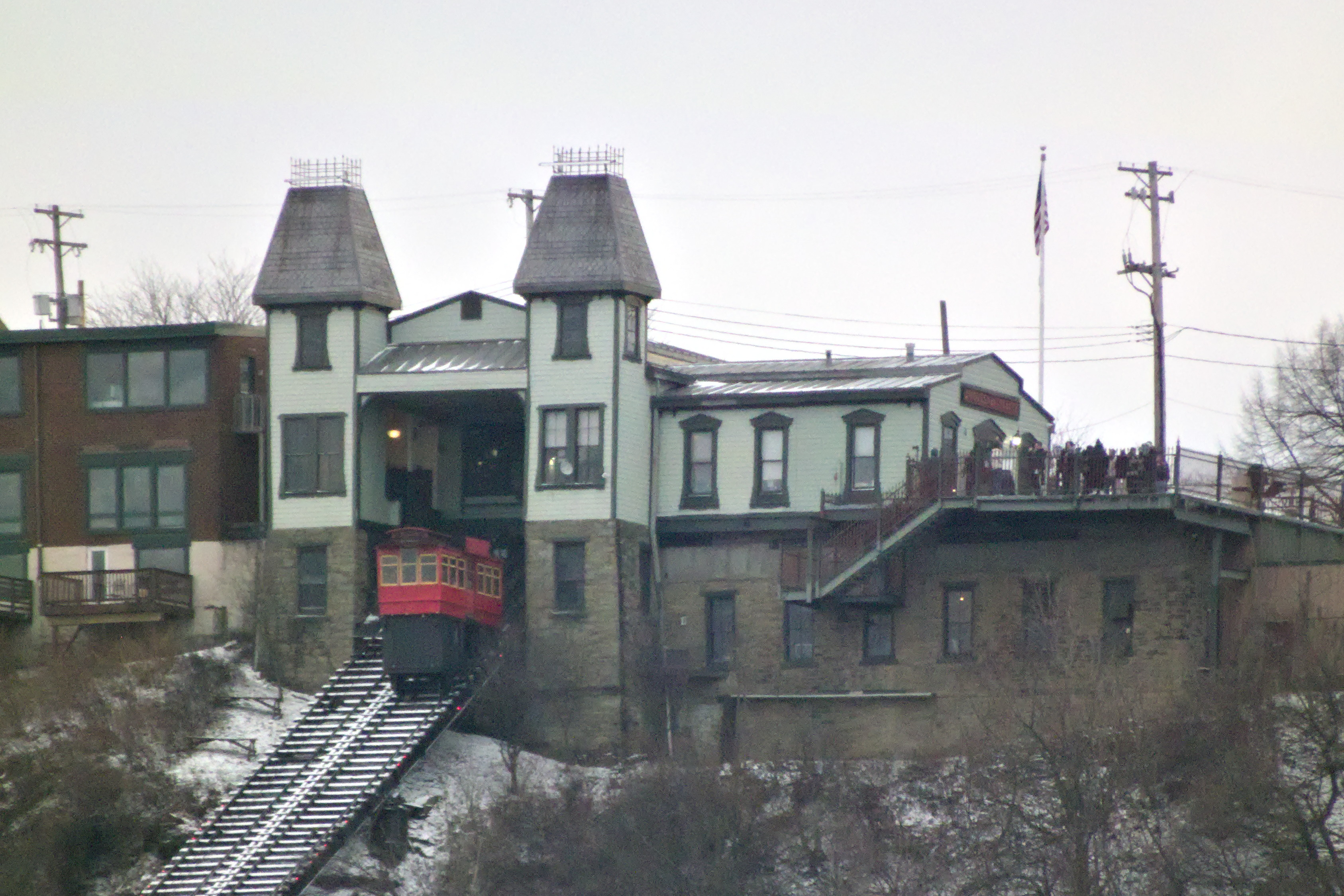
Duquesne Incline

Seen from across the Ohio.

-
Car Barn, Mount Oliver

This is what old Pa Pitt calls urban archaeology. Without lifting a spade, you can dig through layers of history just by looking at things and asking questions.
For example, you might pass by this chain store in Mount Oliver dozens of times without seeing anything other than a chain store. But one day you notice the brickwork along the side and begin to realize that it looks like a building that’s more than a century old. Obviously it was not always a Family Dollar. What was it when it was built?
For the answer we can turn to the Pittsburgh Historic Maps site. There we discover that this was actually a car barn for the Pittsburgh Railways Company, the streetcar operator in Pittsburgh before the Port Authority took over public transit in Allegheny County. A car barn is a place where streetcars are kept when they are out of service. (The main car barn today is at South Hills Village.) A large streetcar company needed car barns here and there throughout the service area. Most of them are gone, but some of them have been adapted to other uses. This one is a store; another one in Windgap became a Catholic church, and perhaps Father Pitt will get its picture soon.
-
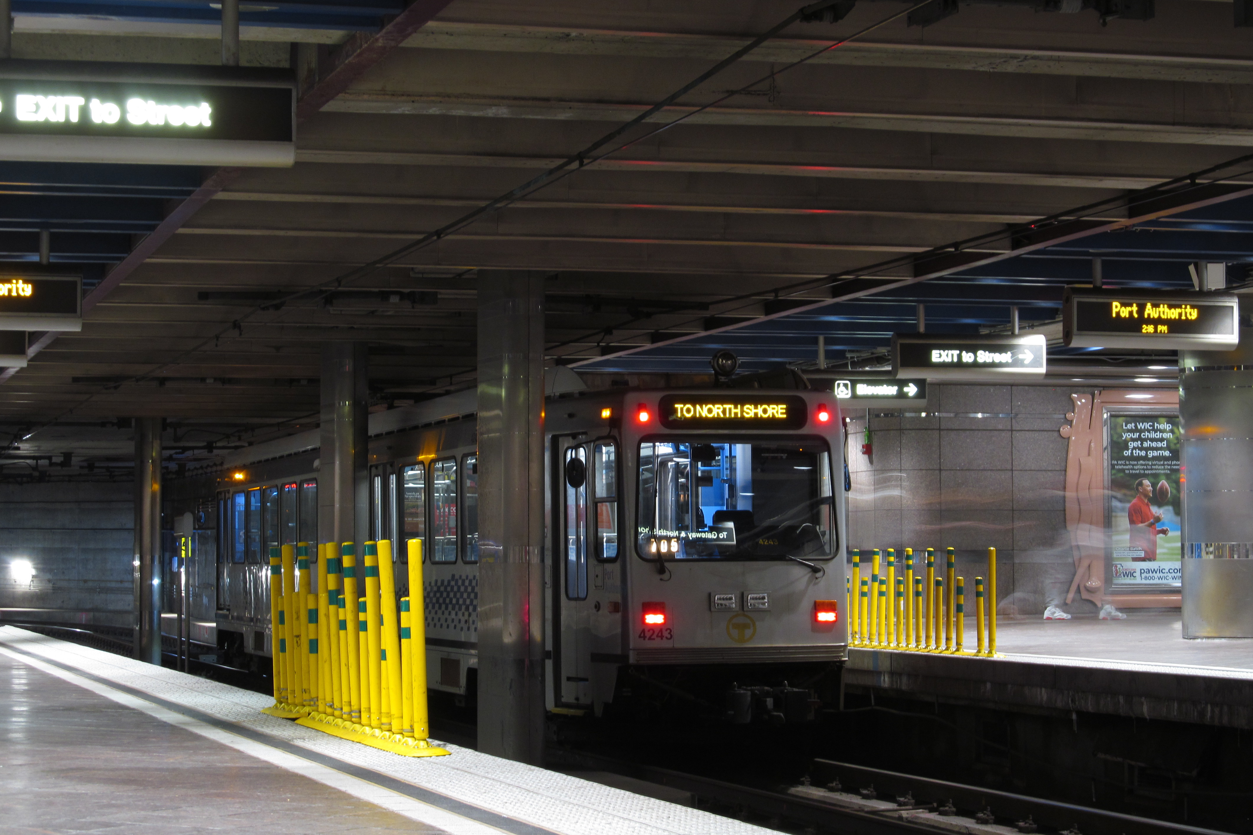
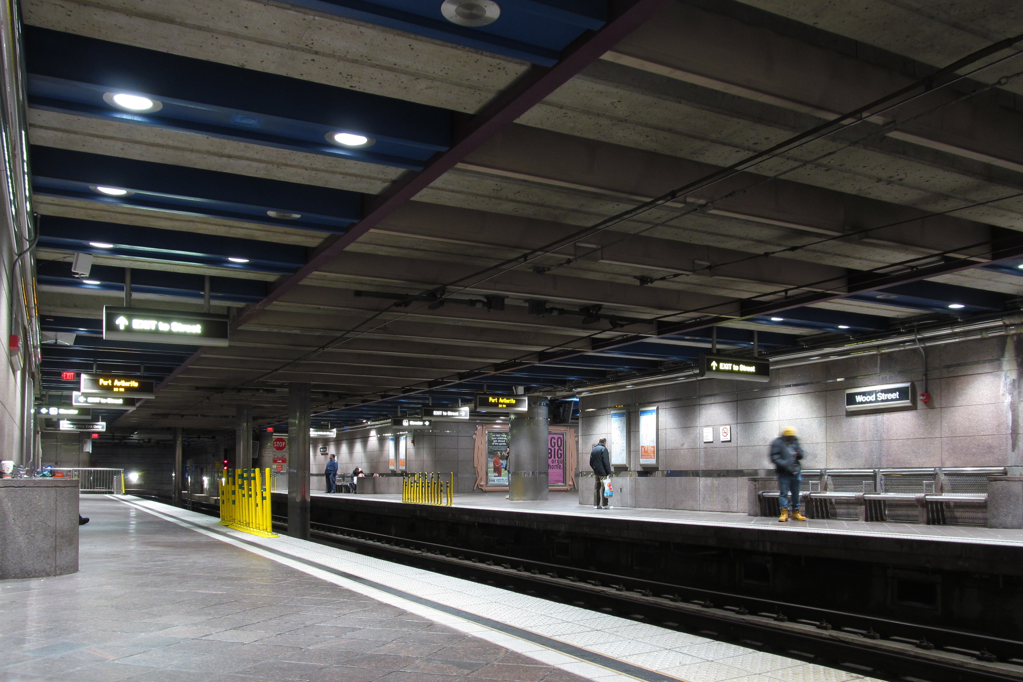
Wood Street Subway Station