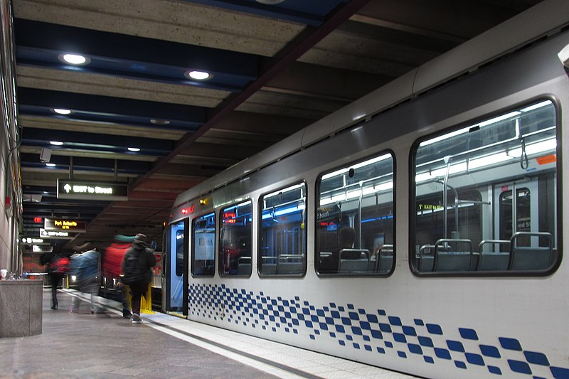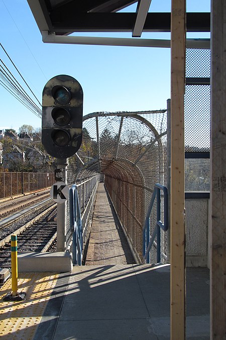


The Fallowfield station on the Red Line in Beechview is a kind of parasite on the Fallowfield viaduct. The Fallowfield Avenue end is at street level; the other end of the station is about five storeys above street level. Stations on the Red Line are currently getting a little bit of renovation.

The Fallowfield viaduct is one of three major viaducts, along with a bridge and a tunnel, that are necessary to bring the streetcars from downtown into central Beechview.

The viaduct is as important to pedestrians as it is to streetcars—so important, in fact, that, when the walkway was closed for repairs for a while a few years ago, the Port Authority gave free rides between Fallowfield and Westfield at the other end of the viaduct.

Outbound streetcars approach the viaduct from a curve.

Why is there a narrow strip of forest between these two streets on Mount Washington? And, for that matter, why was the neighborhood laid out with two streets so absurdly close together, so that nothing fits between them but a narrow strip of forest?
You already know the answer, of course, because you read the title of this article. It used to be an incline.
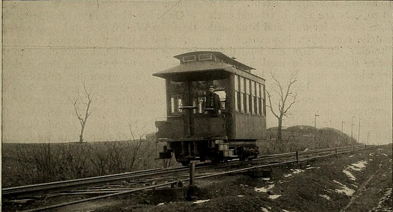
Several inclines, of which two are still going, went up Mount Washington from the South Side. Only one went down the back slope of Mount Washington: Castle Shannon Incline No. 2, which began at the upper station of the Castle Shannon Incline on Bailey Avenue and ran down along Haberman Avenue to Washington Avenue (now Warrington Avenue) in Beltzhoover. This was more or less a cable-car line, like the ones that still run in San Francisco and ran all over Pittsburgh for a brief period before electric streetcars took over. It ran for a little more than twenty years; it opened in 1892 and was closed in 1914.


This picture of abandoned freight cars along the incline, taken in 1916, shows the cable in the middle of the track.

The Monongahela Incline is getting a thorough going-over. They’re going to fabricate new drive sheaves and replace the gabions, and if you understand what those things mean you probably know a lot about inclines. Here’s something you might like: “Glass flooring will be installed in the Upper Station waiting area that will allow the public to view the inner workings of the Incline.”
Here we see the upper station: note the incline car parked just below the station to empty out the building for the work.

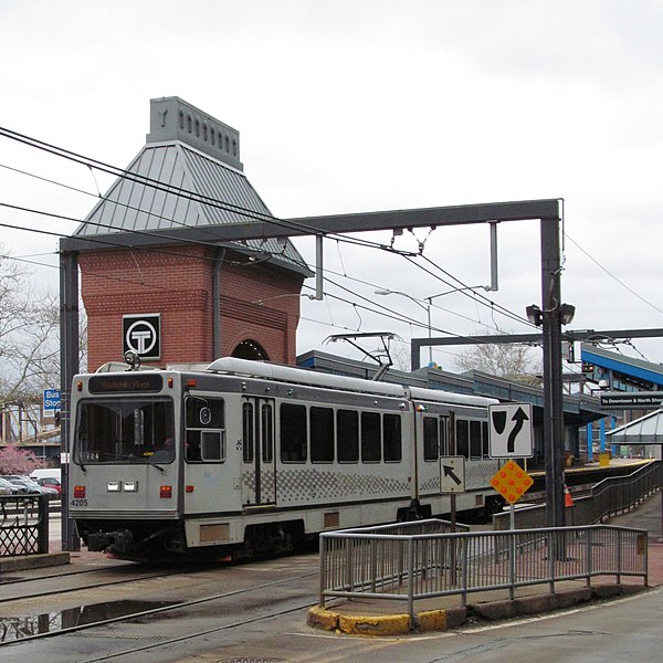
Dormont Junction ceased to be a junction in the 1960s, but the Pittsburgh trolley system is crusty with tradition, and the name has never been changed—in spite of occasional attempts by the Port Authority to call the station “Dormont.” The current station was designed in the 1980s, and like most of the stations put up then it is utilitarian to the point of ugliness. Above, two Red Line cars pass; below, a closer view, showing the 1980s-vintage T-in-a-circle sign at the entrance.

Dormont Junction is at the north end of the Mount Lebanon subway tunnel, which is never called a “subway” by real Pittsburghers, to whom “subway” means the section of four underground stations, one ground-level station, and two elevated stations from Station Square to Allegheny.


The Station Square subway station was built in the 1980s, when the streetcars were diverted from the Smithfield Street Bridge to the Panhandle Bridge and into the subway downtown.

Even though it’s clearly above the ground, this is the end of the section of combined trolley lines that Pittsburghers call the “subway.” From here the outbound streetcars go underground into the Mount Washington tunnel, but that’s not a subway. That’s just trolleys running underground. You need to be a Pittsburgh native to follow the logic.


