-
Gateway Station
-
A Broad View of Steel Plaza

An “ultra-wide” view of a Red Line car coming into Steel Plaza station, thanks to the five-megapixel “ultra-wide” auxiliary camera on Father Pitt’s phone.
Comments -
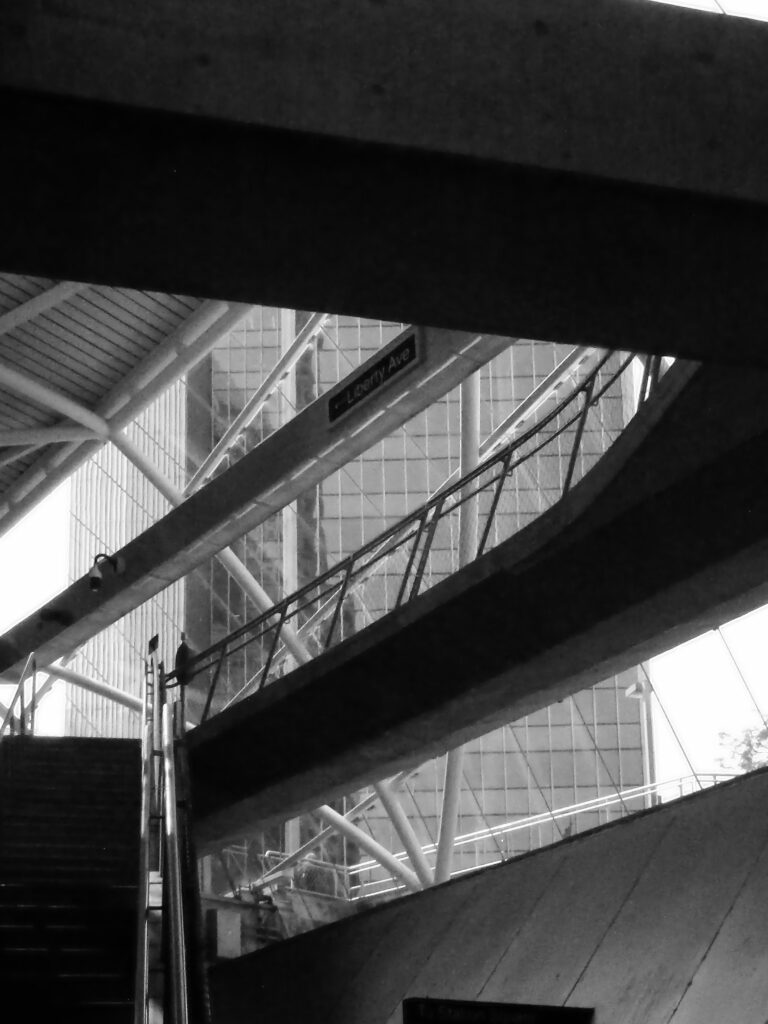
Entrance to the Steel Plaza Subway Station

Kodak EasyShare Max Z990. The Grant Street entrance to Steel Plaza station: a study in angles.
Comments -
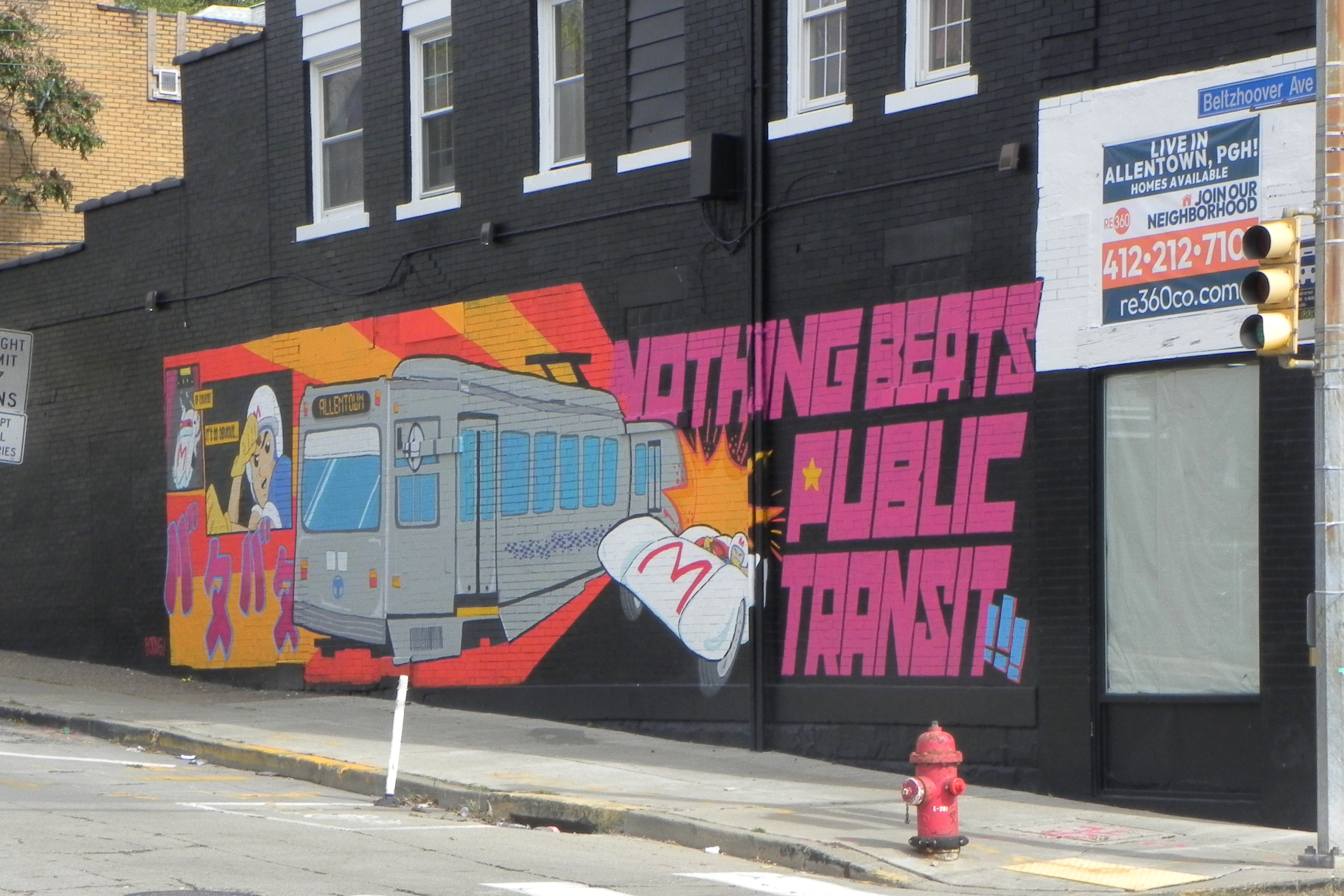
Streetcars in Allentown

All summer long, all the rail routes have been detoured through Allentown. Stop and consider for a moment how thoroughly odd Pittsburgh transit is: do you know of any other subway system that keeps up an alternate route over the top for times when one of the tunnels has to be closed?

The few riders who look up from their phone screens have a chance to notice that Allentown is changing. Over the past few years, the Warrington Avenue business district has been going through a rapid trendification. It’s full of weird little shops too low-budget for the high rents of Lawrenceville.

A bonus bus coming toward you, for the longtime fans.

While the trolleys are going over the top, they stop at Allen Street in the middle of the Allentown business district.

Many people in Allentown would like to have their Allentown Trolley back permanently. They have been enjoying their summer of streetcars.

Nikon COOLPIX P100; Kodak EasyShare Z981.
Comments -
Gateway Station
-
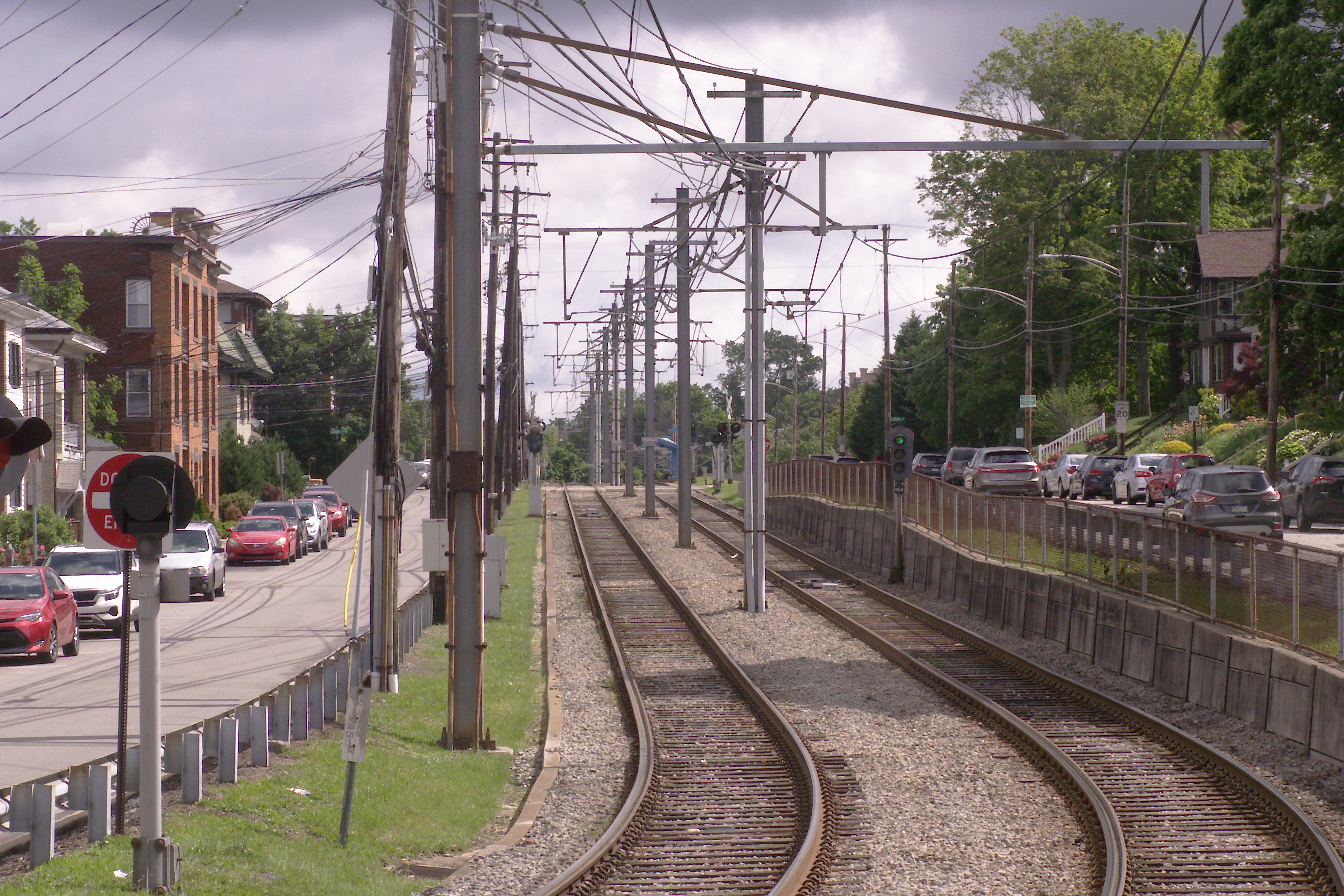
East Busway at East Liberty Station

The busways in Pittsburgh are built mostly along old railroad right-of-way, and most of the stations are placed very near where the old commuter-rail stations stood. The Martin Luther King Jr. East Busway is unique in that the railroad still runs next to it; space for the busway came from the abandonment of extra parallel tracks on the busy Pennsylvania Railroad main line. Above, an outbound bus stops at the East Liberty station.

These views were taken from the Highland Avenue bridge across the railroad and busway. The bridge bears the Pennsylvania Railroad emblem in concrete.


Fujifilm FinePix HS10; Samsung Galaxy A15 5G. The use of the old railroad right-of-way, which runs in a series of hollows below the main street level of the neighborhoods it goes through, makes the East Busway a true rapid-transit line, as much grade-separated as a subway.
Comments -
University Line Stations Downtown

Yesterday we spoke of the busways as bus rapid transit done right. Here we see it done…the other way. The new University Line will be what counts as “bus rapid transit” in most other cities: there will be dedicated lanes for the buses most of the way, but they will have to deal with traffic lights and dozens of at-grade intersections to get from downtown to Oakland.

Fujifilm FinePix HS10. Nevertheless, this will be leagues better than what we have now to get from downtown to Oakland, which is stacks of buses tied up in rush-hour traffic. Instead of street corners with little signs sticking out of poles to mark them as bus stops, we’ll have these sharp-looking stations, which will provide some shelter from the rain and a few amenities like farecard vending machines and emergency telephones. (Can you get emergency cat videos on those emergency telephones?) Here are two of the nearly complete stations downtown: Market Square, which is a short block from the Diamond, and Wood Street, which is right across the street from the Wood Street subway station.
Addendum: A correspondent pointed out what we neglected to mention: that traffic lights at intersections will be synchronized to let buses pass through expeditiously. This is an important detail, and it is certainly true that it will make the system considerably swifter than it would be if the buses had to wait for the usual cycles. We reiterate that this will be much better than what we have now. Father Pitt would prefer a subway, but he doesn’t always get what he wants, and he is grateful for what he does get.
Comments -
Ingram Station on the West Busway

Like the Crafton station, the Ingram station on the West Busway is almost exactly where the old commuter-rail station used to be.

The busways in Pittsburgh are extraordinary accomplishments that we seldom appreciate. They are true metro lines for buses, making it possible for commuters to rocket through crowded urban neighborhoods at expressway speeds. Father Pitt always thinks rail transit would be better, but Pittsburgh stands out both as the inventor of “bus rapid transit” and as one of the few cities where “bus rapid transit” was done right.

Olympus E-20N; Canon PowerShot SX150 IS.
Comments -
Transit-Oriented Development
Konica Minolta DiMAGE Z6. “Transit-Oriented Development” is a favorite catch phrase among urban planners. In the early twentieth century, it was just the way development happened. Most people used streetcars to get to work, to shopping, and to all their amusements, so of course development and transit had to go together. Here we see a typical pattern: a main spine street—in this case, Broadway Avenue in Dormont—divided in two parts, with a broad median for trolleys. Many neighborhood main streets were built this way. Red Line trolleys still run here in Dormont, and Silver Line trolleys on a similar plan in Bethel Park.
Comments -
Passenger Jet Overhead