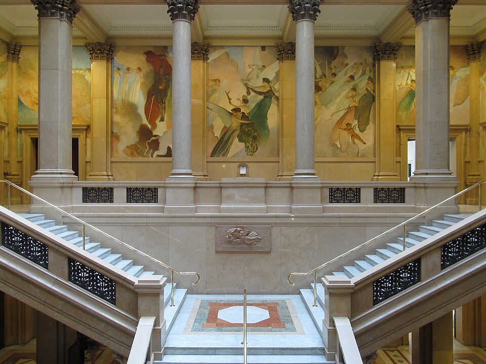
The building was designed by Longfellow, Alden & Harlow; the murals were painted by John White Alexander.


Comments

The building was designed by Longfellow, Alden & Harlow; the murals were painted by John White Alexander.


Like many other streets that appear on the maps of hilly neighborhoods, Milo Street is entirely stairs. Whenever you see a street sign that seems to be pointing off the edge of a cliff, a stairway like this is usually the explanation.


Just walking upstairs in the main Carnegie Library is an aesthetic adventure.


The second-floor corridor. At the ends of the corridor are two cherub medallions, identical except for the motto.

Omne labore—“Everything with effort.”

Vivere est cogitare—“To live is to think,” as Cicero said.

Beechview’s streets are laid out in a grid. The topography rebels against grids, so streets are often interrupted for a block by stairways—as we see here on Andick Way. This is a very common phenomenon in Pittsburgh neighborhoods. The stairways appeared on published maps as streets, and in the early days of GPS that made navigation hazardous. Today most GPS systems have figured out which blocks are impassible to motor vehicles.

Like many hilltop neighborhoods, Mount Washington is full of streets that appear as streets on maps but turn out to be stairways. They made driving perilous in the early days of GPS navigation, but most navigation systems have learned to distinguish the stairways by now. Mann Street is three blocks long, and two of the three are stairways like this.