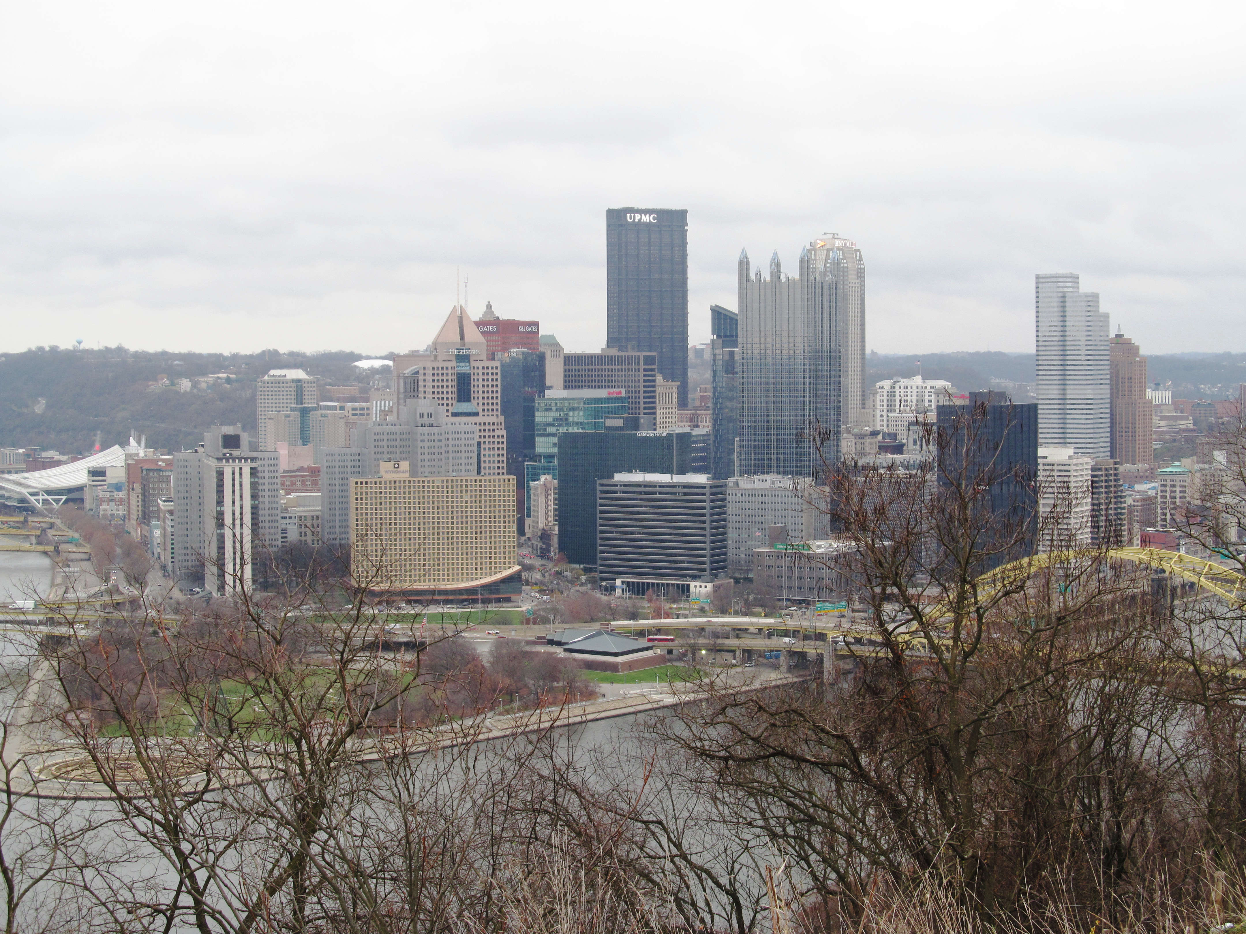
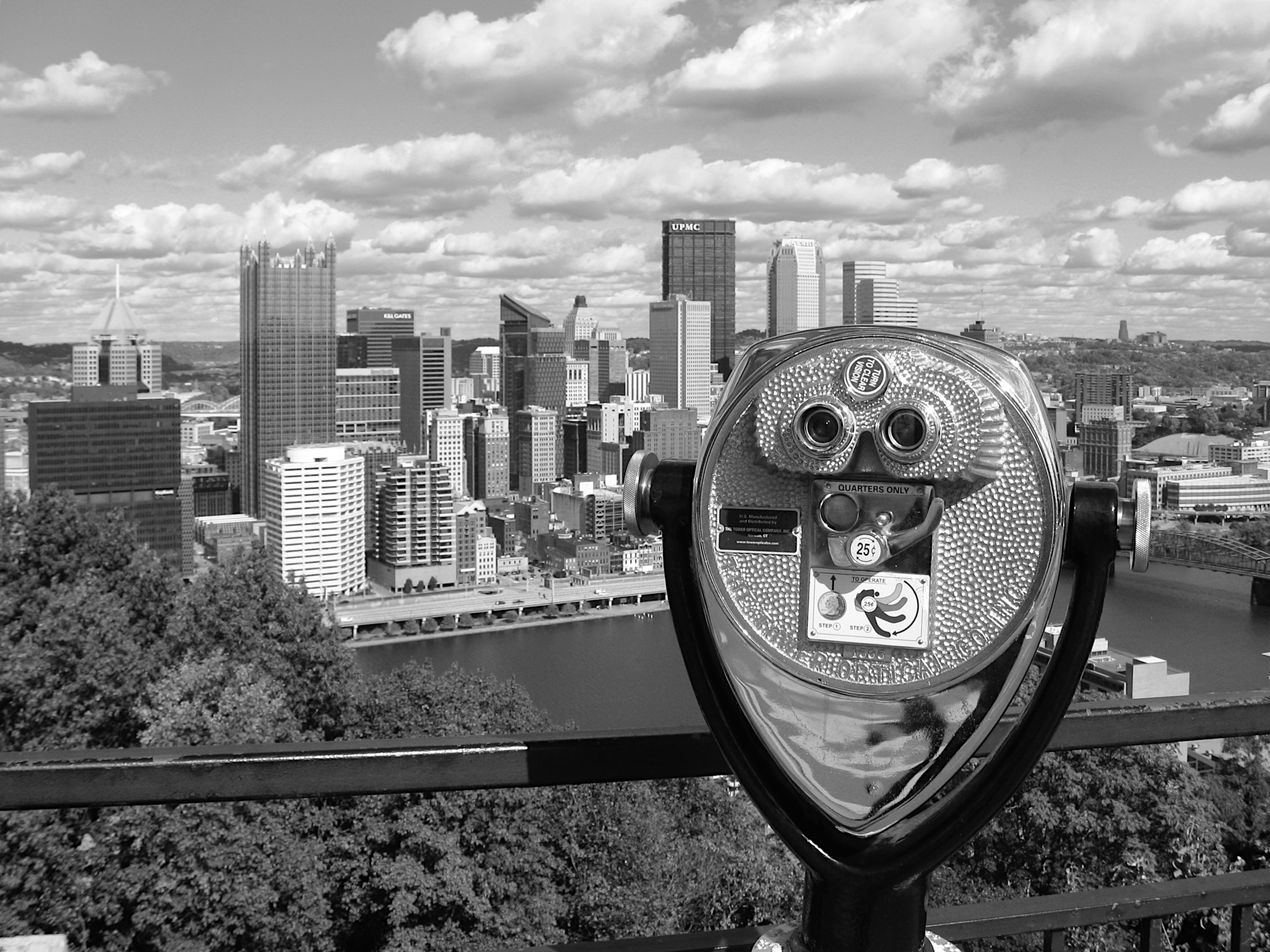
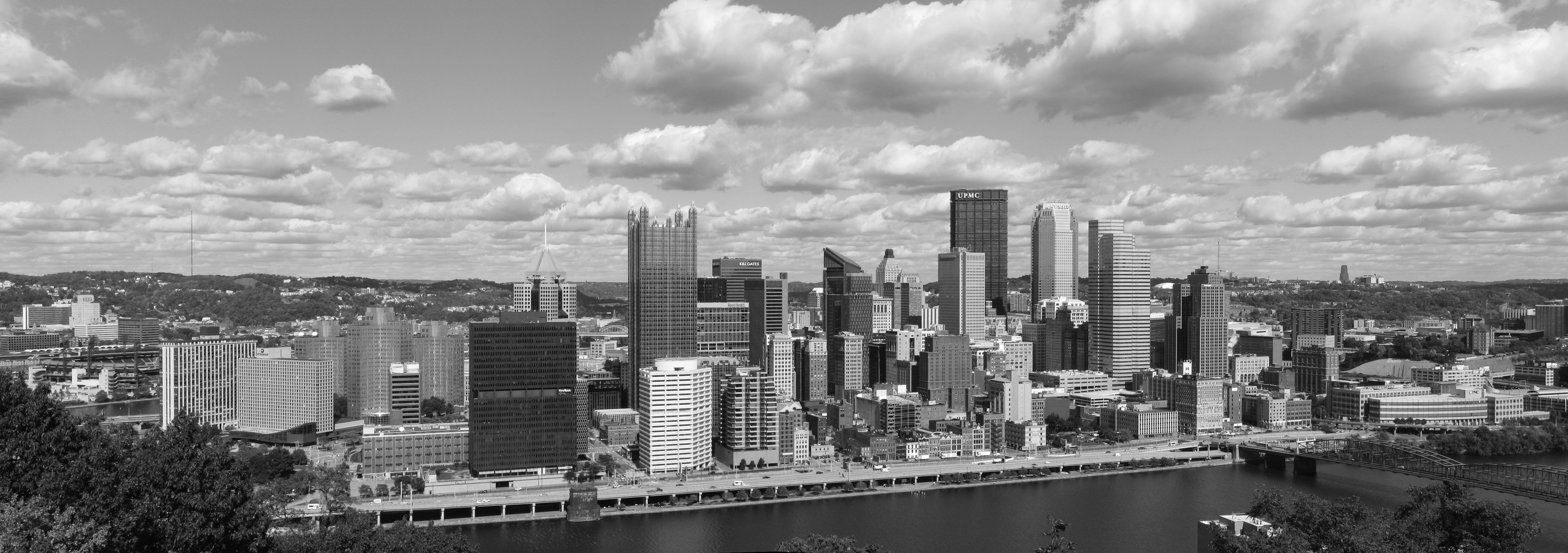
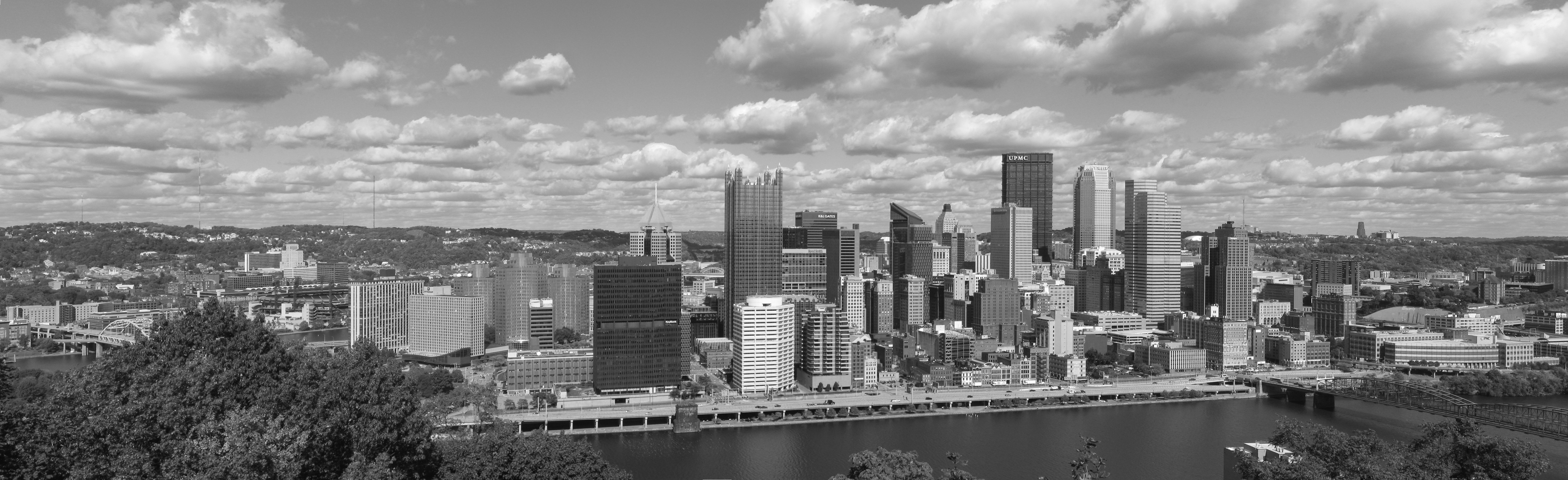
Here is the view that gives Fineview its name. The neighborhood was originally called Nunnery Hill, but neighborhood business interests petitioned the city to change the name in 1915. The Fineview Overlook on Catoma Street at Lanark Street is difficult to find even if you know where you’re going, but the view is worth it.
The skyline of Pittsburgh in 1963 was very different from the skyline today. The U. S. Steel Building had not yet risen to dwarf everything else, and the other skyscrapers that today seem to be the signature forms of the skyline would go up in the 1980s. At the extreme right, we can see the Civic Auditorium, only two years old; it would later be known as the Civic Arena, and then as the Mellon Arena.
This panorama was built from two pictures taken by Roger Wollstadt, to whom all our gratitude is due. Old Pa Pitt saw them in Wikimedia Commons and noticed that Mr. Wollstadt had taken them from the same spot, merely rotating the camera a bit to take in a different part of the cityscape. That meant they would probably combine with no visible errors, and indeed they did.
Note the Creative Commons license for the picture, which is not the public-domain dedication Father Pitt uses for his own pictures. You can do anything you like with this picture, but you must attribute Roger Wollstadt as the original author, and you must make any new versions available under the same license.
A large composite picture (it’s 8,911 × 2,319 pixels if you enlarge it) of the row of buildings along Fort Pitt Boulevard in the Firstside Historic District. Before the boulevards isolated the city from the shore, these buildings used to face the Monongahela Wharf, a chaotically busy inland port where steamboats by the dozens loaded and unloaded their passengers and cargo.
Two negatives stitched together; they had quite different lighting, but with some yanking and prodding in the GIMP, old Pa Pitt was able to make the seam nearly invisible. At the far left, we can see a big plot of cleared ground where PNC Park is about to be built.
The South Side Slopes give us excellent views of the Oakland skyline. We’ve already seen the point of view from St. Michael’s Cemetery; now here is the view from Mission Street a little to the east and halfway down the hill. Click on the picture to see a good bit of detail.
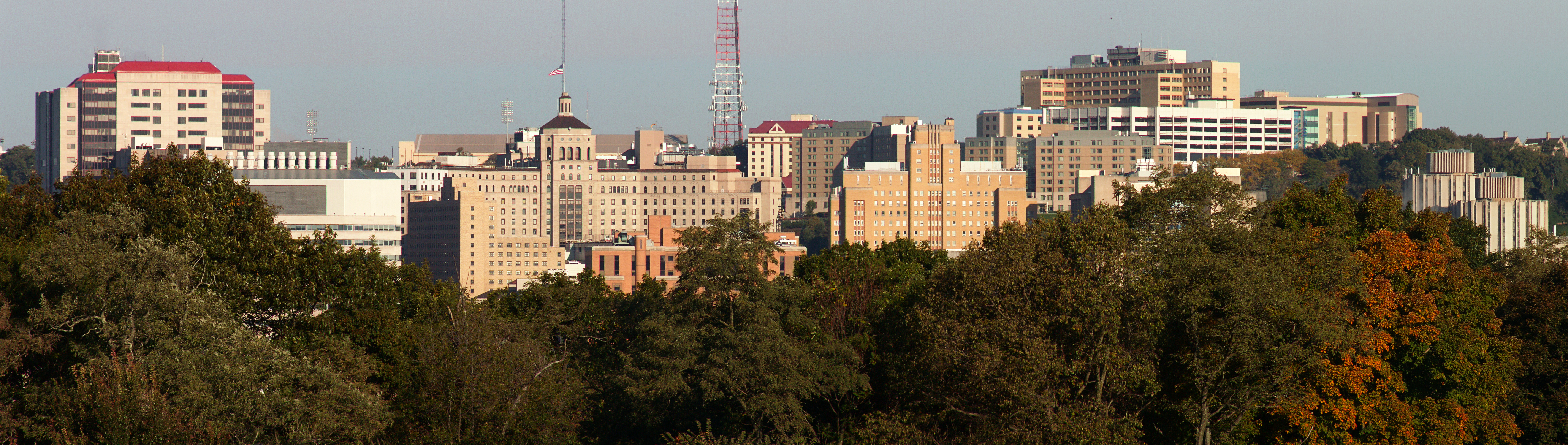
Two panoramas of the Oakland medical-intellectual district. Above, from Panther Hollow Bridge; below, from Schenley Park near the Oval. They are very large if you click on them.