Tag: East Busway

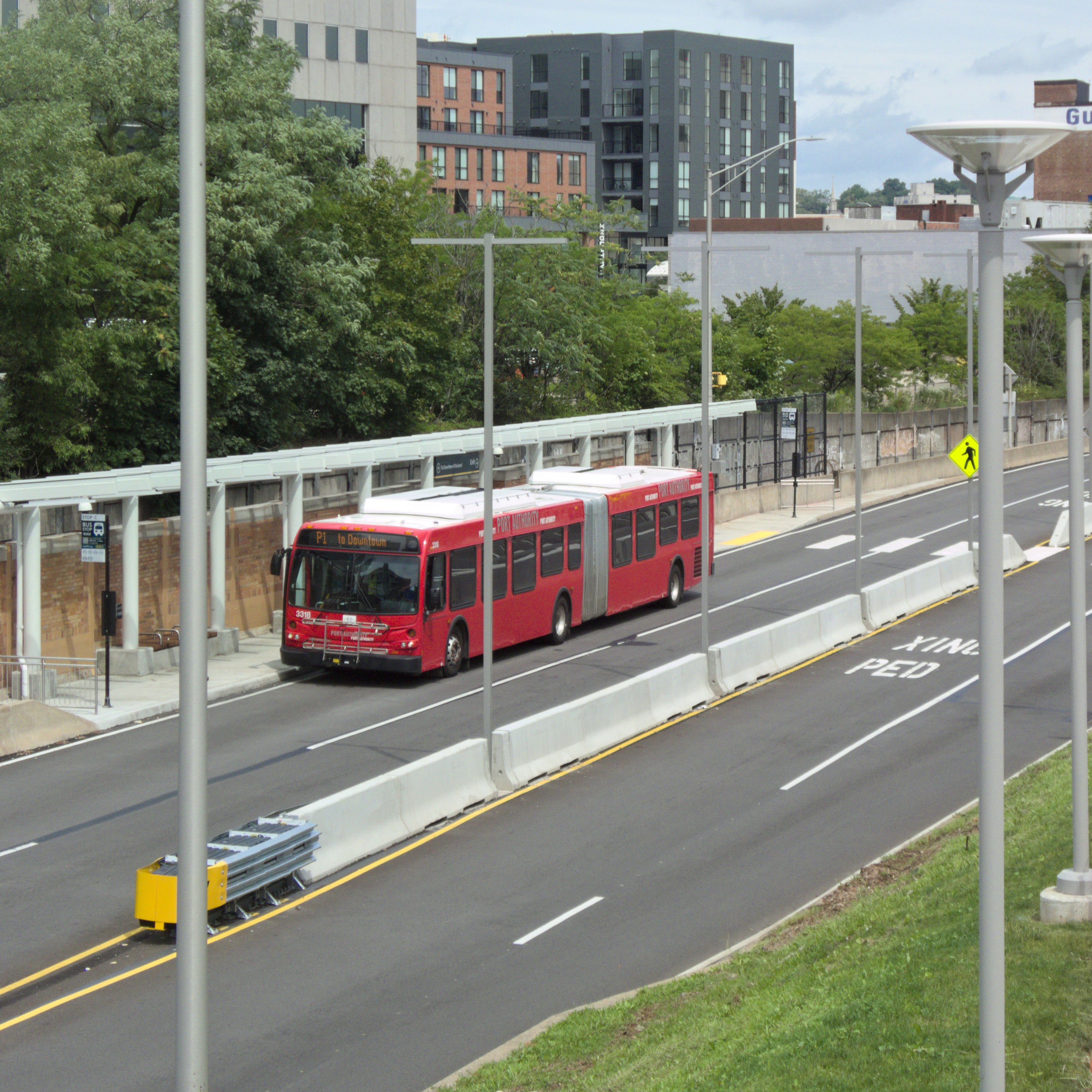
  • Negley Station on the East Busway

    Negley Station

    The Negley Station is an easy walk from both the Ellsworth Avenue and Walnut Street business districts in Shadyside, as well as businesses on Centre Avenue and Baum Boulevard. Like most busway stations in Pittsburgh, it is a direct replacement for an old commuter-rail station: in this case, the Roup station that used to be at exactly the same place. (South Negley Avenue was part of Roup Street until the 1890s, and rail stations tend to keep their names even when the street for which they are named changes.)

    Negley Station

    Commuters gather on the inbound platform in late morning rush hour.

    Buses at Negley Station

    And here come the buses.

    Buses at Negley Station
    Outbound platform
    Canon PowerShot SX20 IS; Sony Alpha 3000 with 7Artisans f/1.4 35mm lens.

    The outbound platform in evening sunlight.


    Comments
  • East Busway

    East Busway

    Other cities have King Boulevards; we have an East Busway that is officially named for Dr. King, but no one ever uses the whole official name, because by the time you have pronounced the decasyllabic name “Mar-tin Lu-ther King Ju-nior East Bus-way,” you have forgotten what you were talking about. Why not just “King Busway?” We do less honor to Dr. King by using his full name as the name of the busway, because no one ever speaks it.

    At any rate, here is the East Busway with two of its stations, in pictures that demonstrate why this busway is such a useful transit artery. Along with the railroad, it runs in a hollow that winds through Bloomfield and Shadyside, giving it the grade separation of a subway without the construction cost. It is in effect a rubber-tired metro line. Pittsburgh invented “bus rapid transit,” and for the most part we did it right.

    East Liberty station

    Above, East Liberty; below, Negley.

    Negley station