Tag: archaeology

  • Car Barn, Mount Oliver

    This is what old Pa Pitt calls urban archaeology. Without lifting a spade, you can dig through layers of history just by looking at things and asking questions.

    For example, you might pass by this chain store in Mount Oliver dozens of times without seeing anything other than a chain store. But one day you notice the brickwork along the side and begin to realize that it looks like a building that’s more than a century old. Obviously it was not always a Family Dollar. What was it when it was built?

    For the answer we can turn to the Pittsburgh Historic Maps site. There we discover that this was actually a car barn for the Pittsburgh Railways Company, the streetcar operator in Pittsburgh before the Port Authority took over public transit in Allegheny County. A car barn is a place where streetcars are kept when they are out of service. (The main car barn today is at South Hills Village.) A large streetcar company needed car barns here and there throughout the service area. Most of them are gone, but some of them have been adapted to other uses. This one is a store; another one in Windgap became a Catholic church, and perhaps Father Pitt will get its picture soon.

  • Welsh Congregational Church, South Side

    Welsh Congregational Church, South Side

    We are going to use our imaginations here to bring the East Birmingham of a century and a half ago back to life.

    Take a good look at this VFW hall. Now erase the belligerently patriotic mural. Then strip away the improvised vestibule at the end. Then take away the side entrance. Then unblock the windows along the side (old Pa Pitt does not know what demonic secret rituals the veterans practice that would be spoiled by natural light, but they seem to have an aversion to it).

    What you will have left is a little old church building, probably from just after the Civil War. It appears on an 1872 map as “Welsh Cong. Ch.,” and so for many years after; but by 1923 it had been transferred to another congregation, and appears as a “Polish M. E. Ch.” (M. E. for Methodist Episcopal). At least half a dozen churches on the South Side were bought by East Europeans around the turn of the twentieth century. We might call it Nordic flight: people of northwestern European ancestry fled the South Side as undesirable East Europeans poured in.

    Methodists were never a large segment of the Polish population, and at some point the church changed hands again, going out of the religion business entirely. But not much has really changed about the exterior. The outlines of a typical small middle-1800s church are clearly visible. It would be fairly easy and inexpensive to restore it to something like its original appearance, and—unlike large churches—small churches like this have many uses. If the Veterans of Foreign Wars are ever interested in selling, they should ask Father Pitt first.

  • Archaeology in Saw Mill Run

    Like many streams in the city, Saw Mill Run is full of debris. But it is very interesting debris. If you enlarge the picture, you can see bricks of multiple types, bits of glass, broken plates, and other evidence of the long-vanished village of Shalerville. For the urban archaeologist, Seldom Seen is a rich treasury.

  • Urban Archaeology: The Hotel Henry

    Fragment of a plate from the Hotel Henry

    One never knows what may turn up at an old homesite. The Seldom Seen Greenway on the border of Beechview and Mount Washington is forest now, with Saw Mill Run gushing merrily through it. But Seldom Seen was a little village of its own once, and the old homesites are full of broken plates and bottles and other items of intense archaeological interest. Here is a plate from the Hotel Henry, once a grand hotel on Fifth Avenue, but torn down in the 1950s to make way for a modernist skyscraper. Was it bought or stolen from the hotel? We’ll never know.

    The Historic Pittsburgh site has a good picture of the Hotel Henry as it appeared in about 1900.

    Do you need a copy of the hotel’s logo in scalable form? Probably not, but old Pa Pitt has reconstructed it for you anyway:

  • Urban Archaeology in Emerald View Park

    Emerald View Park is a catch-all name for a string of parks ringing Mount Washington. In the section off Greenleaf Street are many remnants of at least one old house and some other constructions. Since old plat maps show nothing precisely here, this may have been dumped debris from a demolition nearby. Now the forest is taking over, but sections of brick wall and tile floor make surreal additions to the woodland scene.


    Map

  • Abandoned Homesite in the Woods

    A long-abandoned homesite in the Kane Woods Nature Area in Scott Township. You can recognize it by the ornamental plantings now run wild—or, if not, the crumbling steps are a dead giveaway.

  • Urban Archaeology

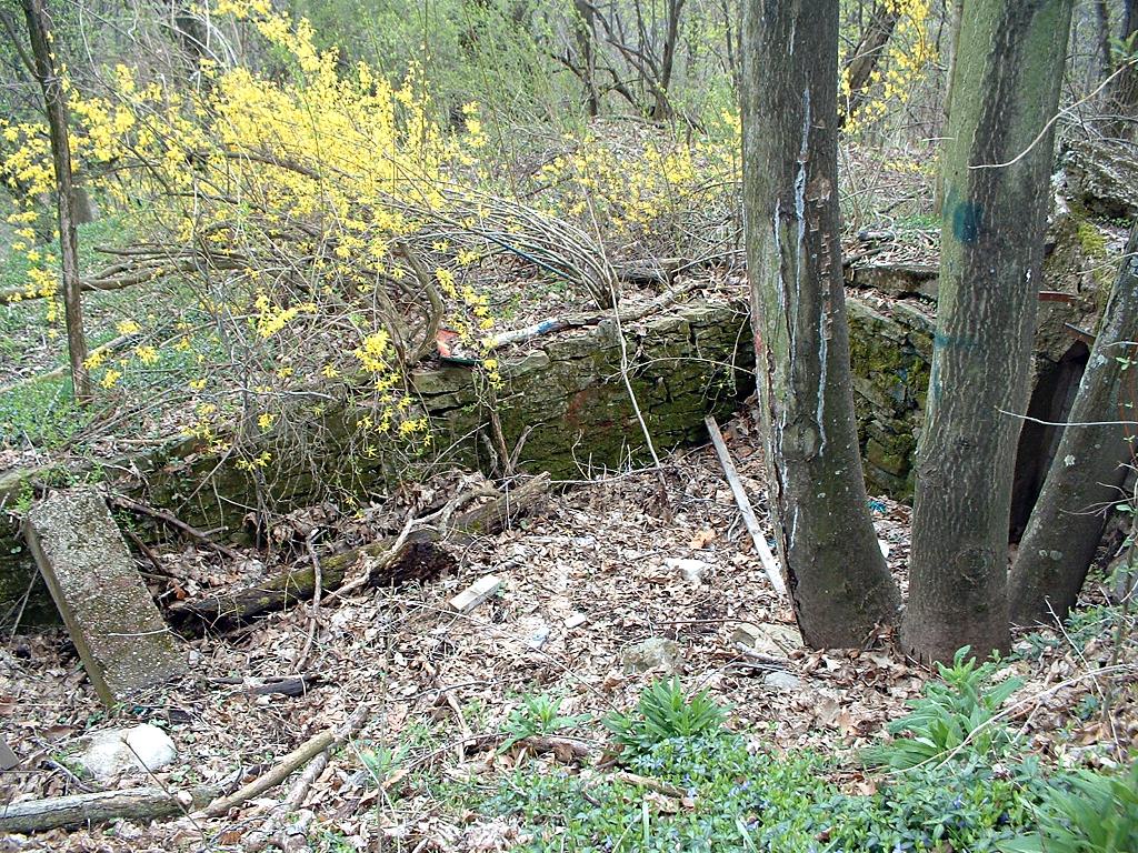
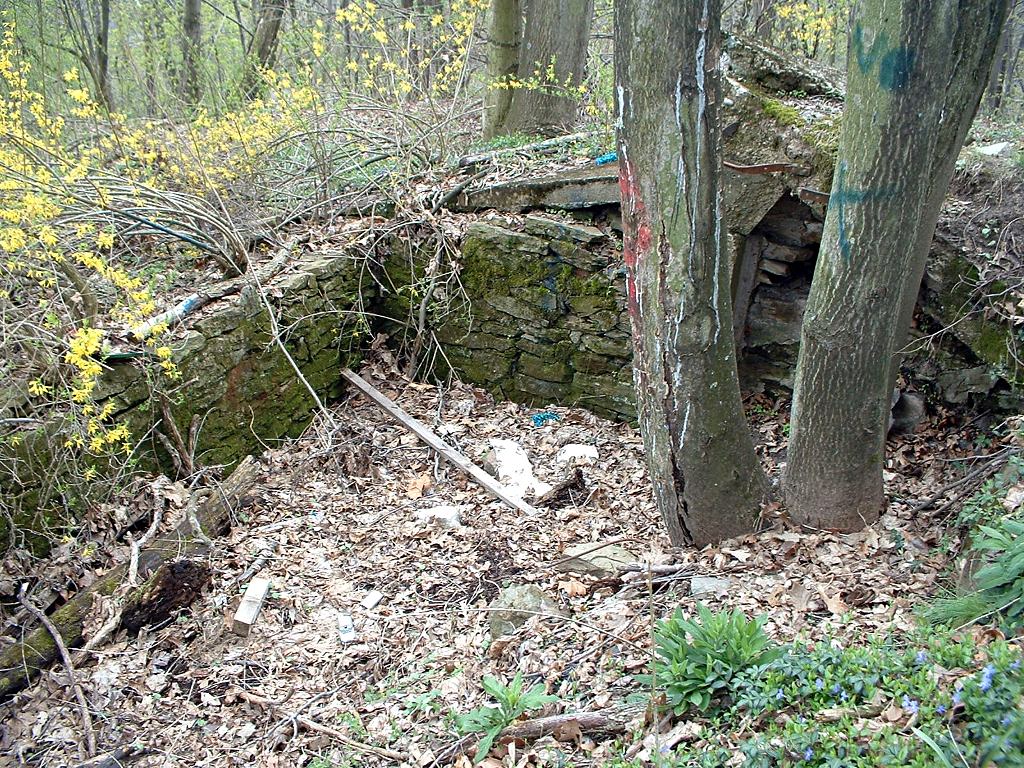
    Mysteries abound in a city when it’s had two and a half centuries to accumulate them. This old foundation in West End Park  has obviously been here for a while. How old is it? The land for the park was bought in 1875; was this a little farmhouse from before that time? Father Pitt would be happy to hear from anyone who knows more about the history of this structure.