-
Oliver Building

One of sixteen buildings designed by the great Beaux-Arts master Daniel Burnham, the Oliver Building, finished in 1910, is typically elegant, and its scale is magnificent. It spans a whole city block. The back of it is a typical tripartite division that allowed large buildings like this to have more windows, more cross-ventilation, and possibly more of those desirable corner offices.
-
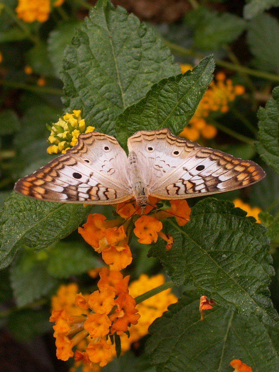
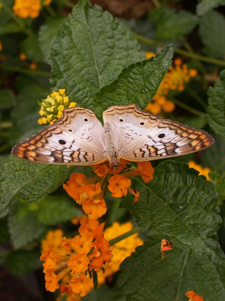
Butterflies at Phipps
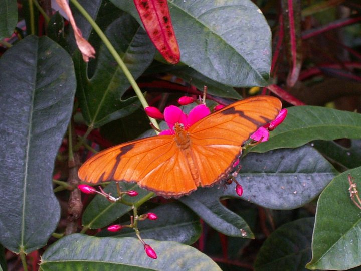
The Butterfly Forest in the Stove Room at Phipps is aflutter with butterflies all summer. Above, a Julia (Dryas iulia); below, a White Peacock (Anartia jatrophae).
-
Coral Fungus

A coral fungus growing by a rotting log in Bird Park, Mount Lebanon. Old Pa Pitt begs your indulgence for a slightly noisy low-light picture.
-
Moth

This beautiful moth seems to be dressed for her wedding day. Perhaps some kind lepidopterist will identify it for us. —UPDATE: Old Pa Pitt believes this to be a Snowy Geometer (Eugonobapta nivosaria).
-
Waterfall in the Kane Woods Nature Area, Scott Township
A little stream in the Kane Woods Nature Area gurgles musically. Absolutely nothing happens in this video except water rolling over rocks, and a bit of wind blowing. Set it to full screen and relax for four minutes. Or go watch paint dry.
-
Back Slopes of Mount Washington

The thin line of luxury condominiums along Grandview Avenue is most of what people downtown see of Mount Washington, but the back side is a typical and very pleasant working-class Pittsburgh neighborhood. Half a block may make a difference of half a million dollars in a resident’s annual income.
-
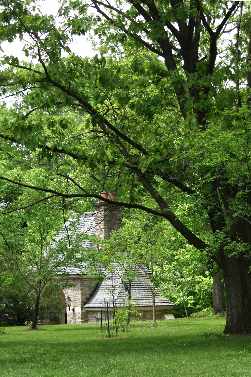
Frick Park Gatehouse

The gatehouse to Frick Park, across from the Frick Art Museum, at Reynolds Street and Homewood Avenue.
-
Waterfall in Frick Park

Spring showers bring little waterfalls everywhere, as on this little stream in Frick Park, which is dry most of the year but delightfully musical in the spring.