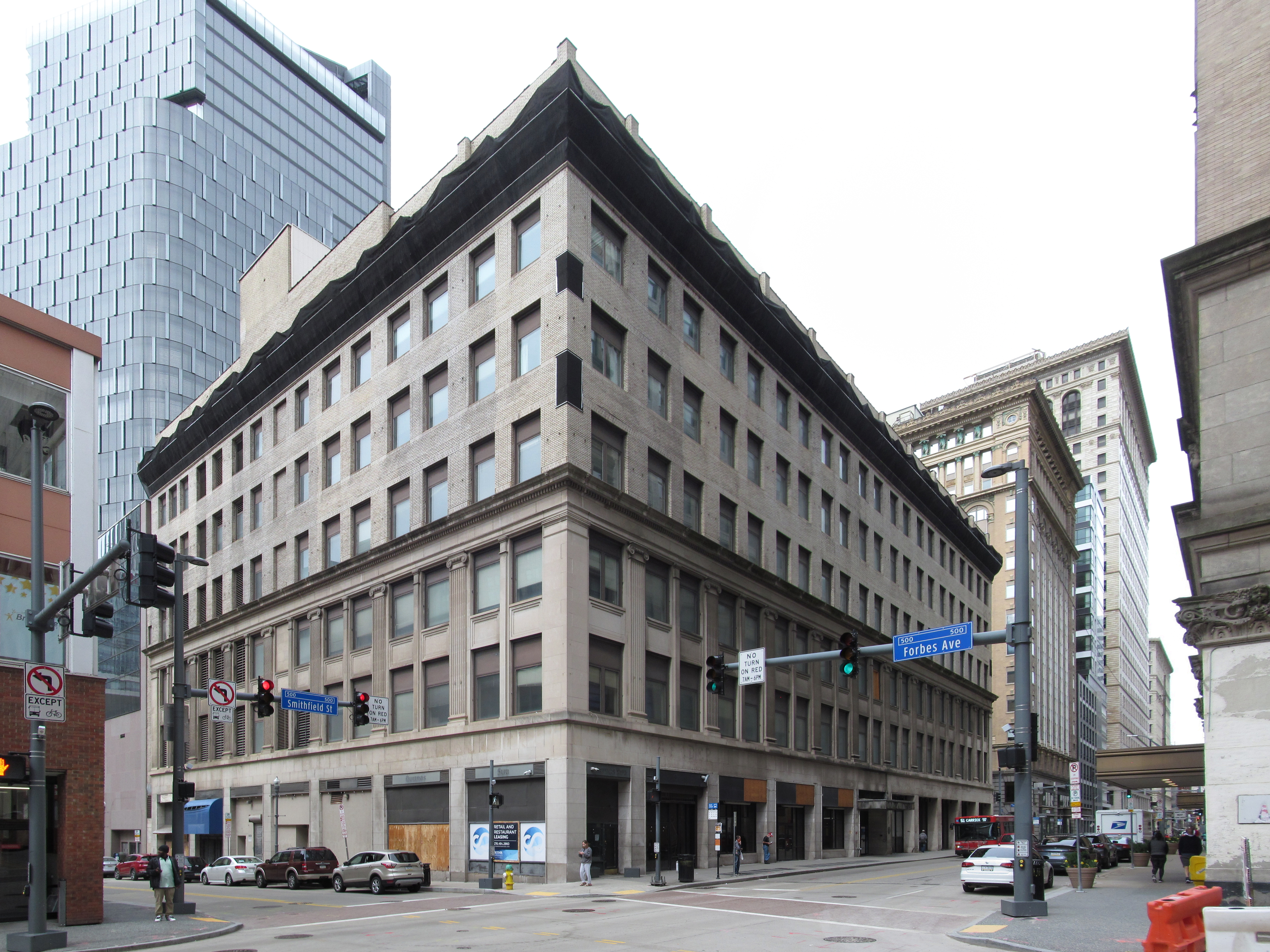
Kaufmann’s was the Big Store, but Frank & Seder, facing Kaufmann’s across a whole block of Smithfield Street, was hardly small. The building is now under restoration.

The restoration has peeled away later accretions, and we can see the shadows of an old sign at the corner of Forbes Avenue.
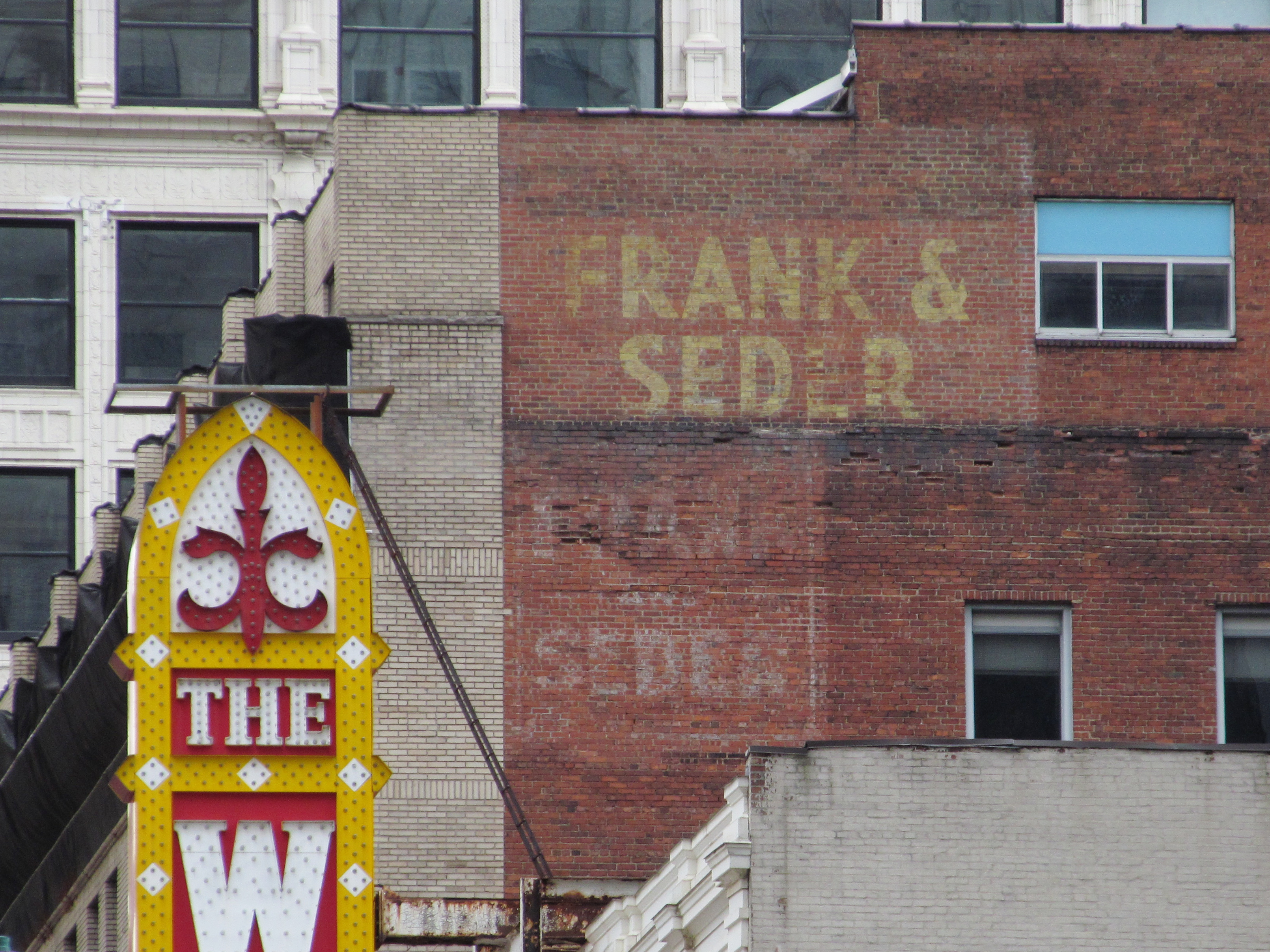
Two layers of ghost signs still memorialize the old department store to pedestrians on Fifth Avenue.


Compare the photograph to this illustration of the store in 1927.