Academy Avenue in Mount Lebanon, just off the Uptown business district, is a street of small to medium-sized apartment buildings, giving way to single-family houses as the street gets farther from Washington Road.

Academy Avenue in Mount Lebanon, just off the Uptown business district, is a street of small to medium-sized apartment buildings, giving way to single-family houses as the street gets farther from Washington Road.

George W. Guthrie was mayor of Pittsburgh when the Keenan Building was put up in 1907, and here is his face among the terra-cotta decorations on the building, where he keeps company with other prominent men of Pittsburgh. Pittsburghers remember Guthrie as the mayor who finally engineered the successful conquest of Allegheny, so North Siders sometimes think of him the way Ukrainians think of Vladimir Putin. Perhaps his most important accomplishment, though, was clean city water that, for the first time, brought typhoid under control in Pittsburgh, where it had been a scourge for the first century and a half of the city’s existence.
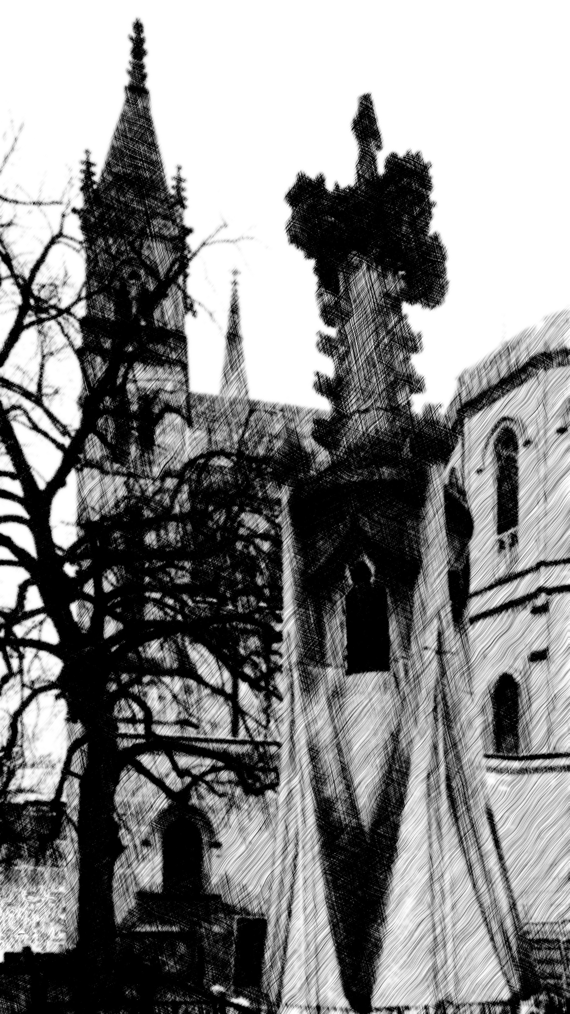
A little experiment in digital art. It began with a photograph of one of the Gothic gateposts outside the chancery behind St. Paul’s Cathedral in Oakland. That was made black and white, and then put through a multiple-layer “etching” filter, and then every detail that looked at all modern was scribbled over. This is the result. Was it worth the work? Probably not, but one can always learn something from these experiments.
The center of Castle Shannon is the intersection of Castle Shannon Boulevard and Willow Avenue, which carries the trolley line. The only way to get a good visual impression of this oddly shaped business district is with a series of broad panoramas.


With its half-timbered parsonage, First Trinity Lutheran Church forms a little medieval enclave on a street of apartment buildings.


Shadyside is full of these little enclaves of townhouses, improbably narrow streets (or simply pedestrian walkways) that shut out the world and create their own little enclosed communities. Ellsworth Terrace, built in 1913, is a fine example of early-twentieth-century arts-and-crafts design. Wikipedia lists the architect as William H. Justice, but with a question mark after the name. The pseudo-Victorian building to the right is a much more recent condominium.

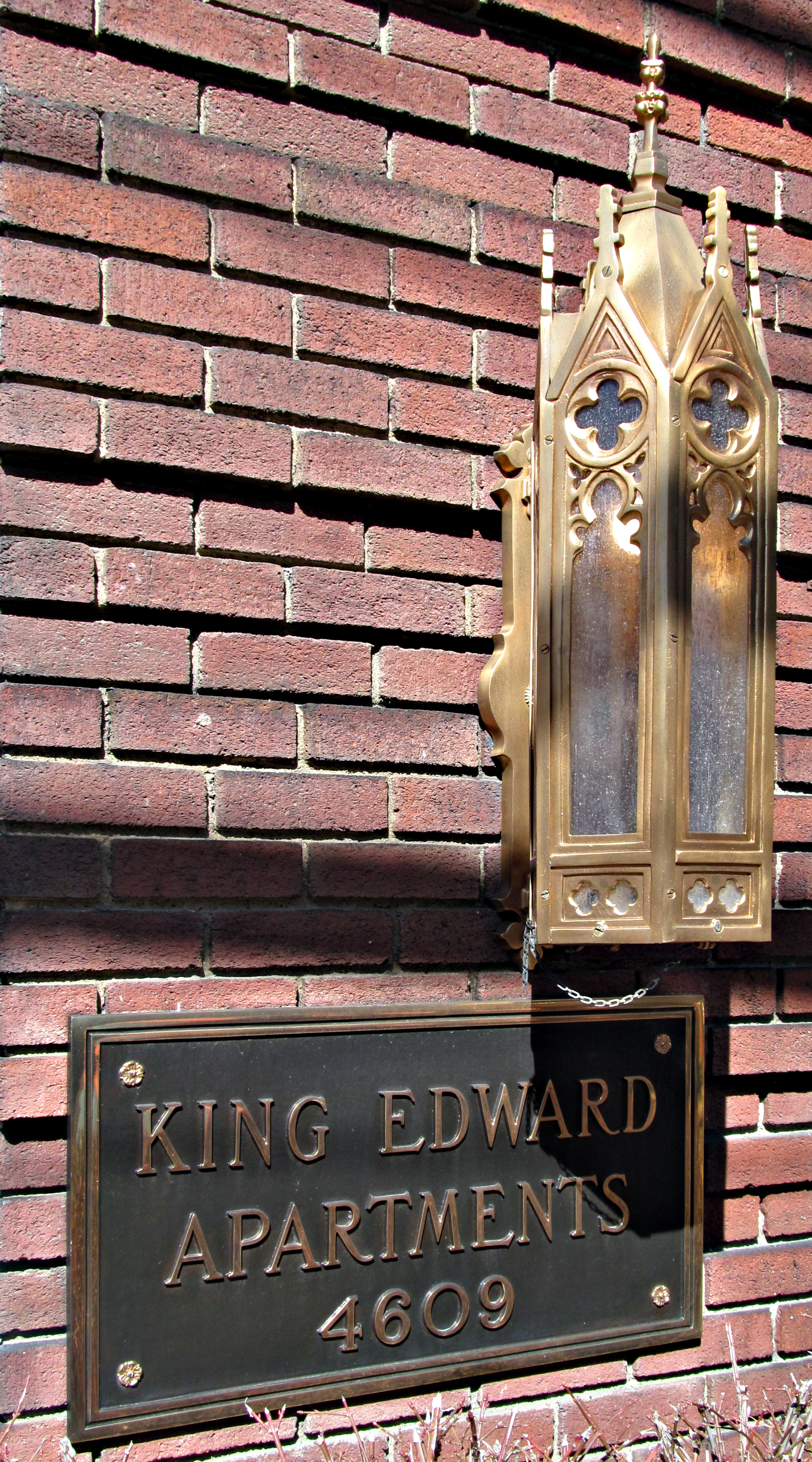
The King Edward Apartments are actually two buildings—a larger one at the corner of Craig and Bayard Streets, and a smaller one behind it on Bayard Street. Both of them have some interesting ornamental features.


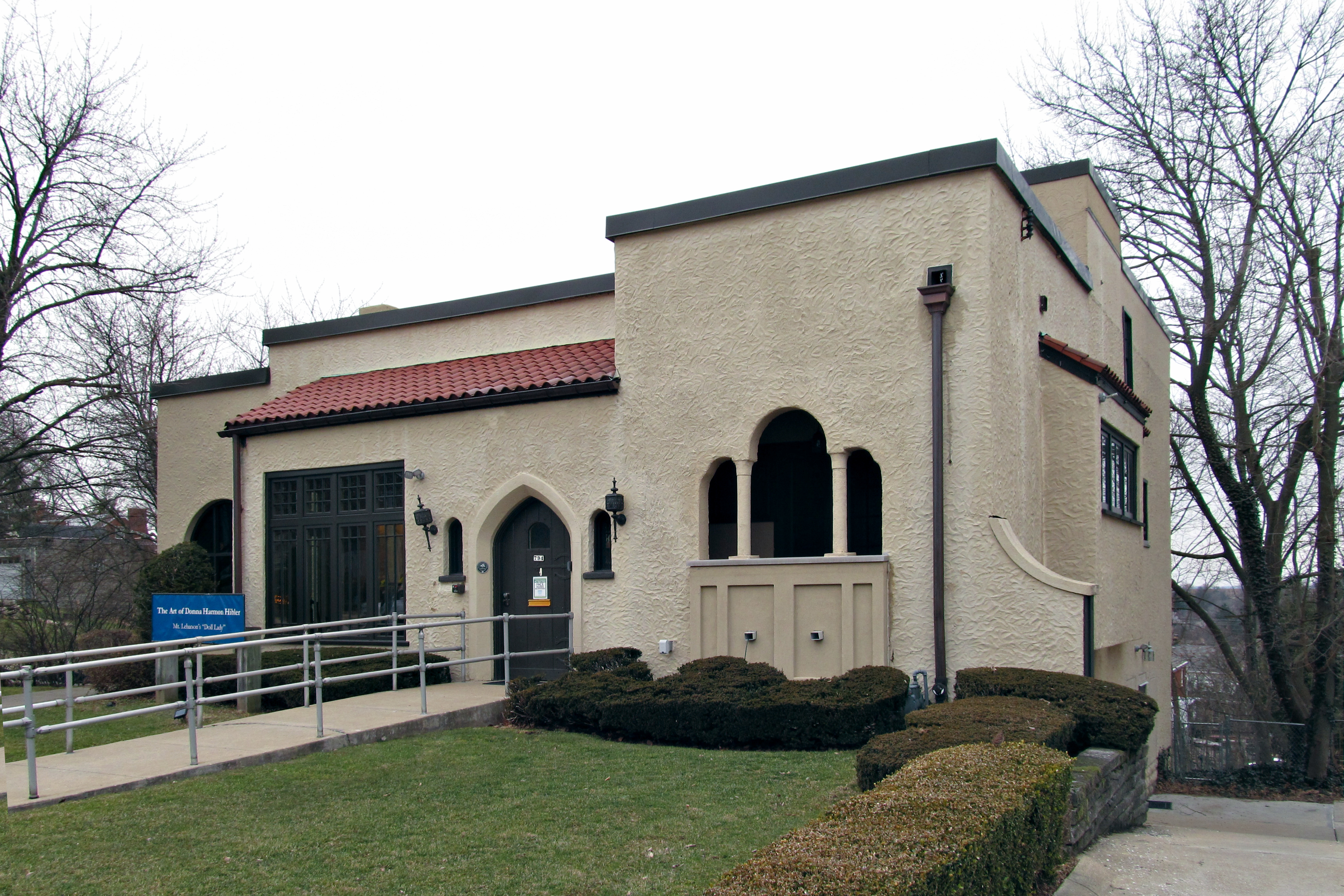
Two houses in the Spanish Mission style sit side by side on Washington Road at the southern end of the Uptown Mount Lebanon business district, and they implement the style in two interestingly different ways. This one, which is now the home of the Historical Society of Mount Lebanon, takes the style fairly seriously. A real Spanish house, in the New World or the Old, turns inward. It shuts the public out, presenting almost blank walls to the outside world. Of course Southwestern houses are also notable for their flat rooflines. In this house we have large expanses of stucco wall facing the street (although the architect has conceded some generously large front windows to Eastern sensibilities) and the flat roof characteristic of Spanish colonial architecture in the Southwest.
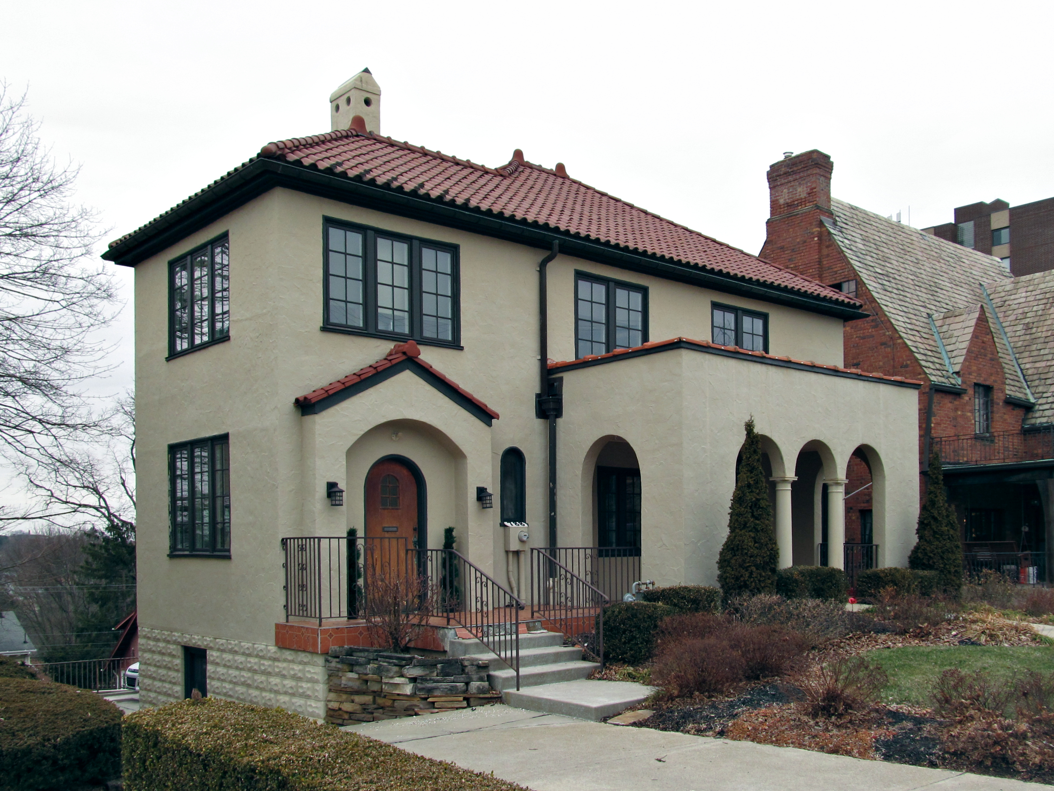
The other house is much more an Eastern house with decorative borrowings from the Spanish Mission style:

You could take the basic shape of this house and turn it into an English cottage or an Italian Renaissance palace by changing the details. The stucco, the arcaded porch, and the tile roof are the main things that carry the “Spanish Mission” message.