Update: Here is old Pa Pitt’s most recent map of Pittsburgh rapid transit:
![]()
Click on the image for a PDF copy.
The article below is kept here for historical reasons, but the map below is out of date.
—
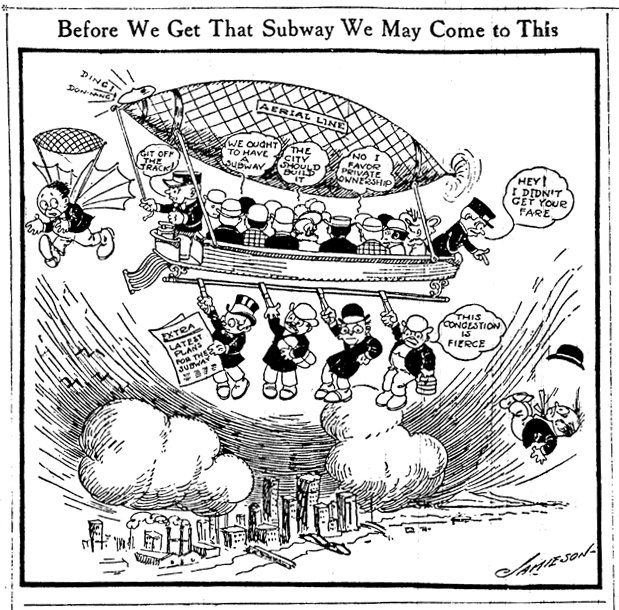
What, again?
Not entirely satisfied with the results of his previous attempt, Father Pitt has employed a somewhat more sophisticated drawing program to create another schematic map of Pittsburgh rapid transit. This one is simpler and more utilitarian, but also more legible, or at least old Pa Pitt hopes it is.

Click here for a copy in PDF format (a much smaller file).
A brief summary (a more discursive description of rapid transit in Pittsburgh is at the earlier article):
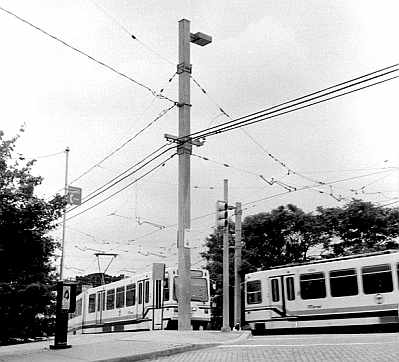
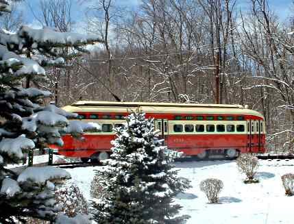
Trolleys run on the street in Allentown and Beechview, but otherwise on their own dedicated right-of-way. Downtown they run in the subway. There are three underground stations (Steel Plaza, Wood Street, Gateway Center) and one elevated station (First Avenue); all other stations and stops are at ground level.
Inclines are funicular railways that climb the steep slope of Mount Washington.
Busways are like rubber-tired metro lines, with complete grade separation, infrequent stops, and high speeds between stops. Most busway routes make a loop on the street downtown.
The contraflow bus lane in Oakland is the sort of thing that counts as “bus rapid transit” in other cities. It helps, but it’s not good enough.
In addition to these lines, of course, there are nearly two hundred bus routes that run in street traffic. See the Port Authority’s web site for detailed schedules. There are also numerous interurban routes run by various transit authorities outside Allegheny County.
An update: Mr. Ken Zapinski remarks, “I would suggest adding the HOV lanes to the north which carry express/commuter service from the North Hills, but including that makes configuration of the map difficult.”
The HOV (“high-occupancy vehicle”) lanes he mentions are a set of inner lanes, completely separated from the main highway, that run from the Lower Hill just outside downtown up the middle of Interstate 579 and 279. They are open to inbound traffic in the morning and outbound traffic in the evening, and they do carry commuter buses as well as the few carpoolers who manage to comply with the absurdly lenient restriction to vehicles with two or more occupants.
In the late 1980s and early 1990s, the Port Authority published rapid-transit maps including those HOV lanes as well as the trolleys and busways (the West Busway had not been built yet). Since then, for some reason, the Port Authority has not published a good map of the whole system, preferring to hand out individual maps of the various parts of it.
Father Pitt considered adding the HOV lanes, but left them out for two reasons: first, because there are no stops along the way, meaning that the ordinary carless traveler cannot use their presence on the map to answer the question of how to get from here to there; and second, because (as Mr. Zapinski remarks) they make the map harder to draw.
The HOV lanes do, however, materially improve commuting from the North Hills; the buses have a far easier time of it than the ordinary one-per-car commuter who sits in traffic and curses. Old Pa Pitt may reconsider the map some day soon.
Another update: Chris Briem at Null Space (a remarkably intelligent blog on Pittsburgh economic issues) kindly links to this article and remarks, “Not sure the Mon Incline counts as rapid, but I won’t quibble.”
Father Pitt uses the term “rapid transit” in place of the far more cumbersome “fixed-guideway systems,” which is what the Port Authority prefers. English is not a bureaucrat’s first language. Except for the Allentown and Beechview street-running sections on the trolley lines, what all these lines have in common is that they avoid street traffic. (And it’s hard to call what happens in Allentown or Beechview “traffic.”)
As for the inclines, they move slowly, but it would be hard to imagine a way of getting from the bottom to the top of Mount Washington that would be faster and didn’t involve a rocket pack.


