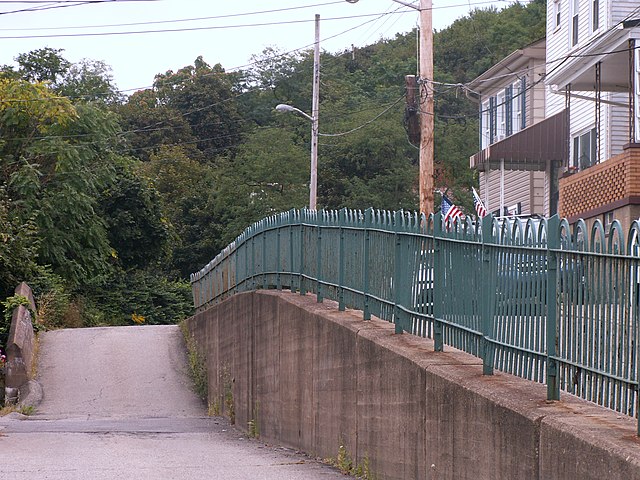
Looking south on South 16th Street toward the South Side Slopes. Note the large number of aluminum awnings, which used to be even more ubiquitous in Pittsburgh; the back streets of Old Birmingham are the best place to see them now.

One of Pittsburgh’s distinctive features is the huge number of public stairways. Many streets that appear on maps are actually stairways, like Eleanor Street here. In the early days of GPS navigation, trip instructions would often send drivers up or down these streets; but most GPS systems have now learned to recognize the streets that can accommodate pedestrians only.
And bicycle cops. To be a Pittsburgh bicycle cop, you have to be able to ride down one of these stairways. If you are still alive at the bottom of it, you’re qualified.
Open Street Map does a good job of showing the public stairways on the South Side Slopes. All the denser red dotted lines are stairways. The narrower, sparser dotted lines are walkways.

Some neighborhoods are so steep that the only way to build a street parallel to the slope is to do it in two parts. These two streets on the South Side Slopes are on the list of Pittsburgh History and Landmarks Foundation historic landmarks, but they are not the only terraced streets in the city. The same thing happens in Beechview, for example, another neighborhood laid out in defiance of topography. Above is Stella Street; below, Shelly Street.


It is utterly absurd that anyone would think of running a street up into this deep and narrow ravine cut into the South Side Slopes; but this is Pittsburgh, and we make absurd adaptations to an absurd topography. How long before those enthusiastic wild grapes swallow those helpless little frame houses?


The South Side Slopes are a vertiginous neighborhood of narrow streets crowded with little frame houses. Traditionally the neighborhood was mostly German Catholic, whereas the flats below were mostly East European. Above, we see the Slopes from the intersection of Sidney Street and 27th; below, a view from 24th Street that includes the back of the old St. Josaphat’s church.


A beautiful basilica-style church remarkable as much for its site as for its architecture. It stands on an eminence on the precipitous South Side Slopes, with a magnificent view of the city skyline. The west front is precisely at the upper end of Monastery Street, making a startling vista for lost tourists who find themselves turning off Brosville Street. The interior is full of rich marble and gorgeous sculptures, with a pipe organ installed right at the front of the church by a former rector who considered music important.


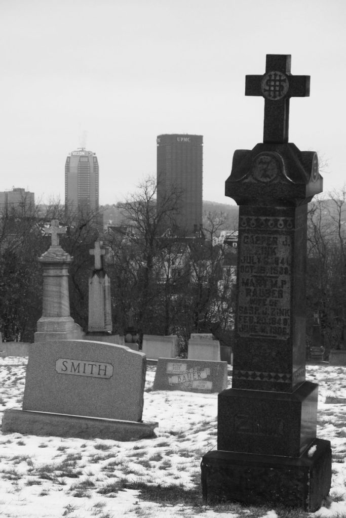
Downtown skyscrapers viewed from St. Michael’s Cemetery on the South Side Slopes. This picture is only as metaphorical as you want it to be.